
Case Study
Zion Canyon and Lava Point Surveying and Mapping ZNP
Scope of Zion Canyon & Lava Point Surveying and Mapping
ZION CANYON AND LAVA POINT SURVEYING AND MAPPING, Zion National Park, UT (2023)
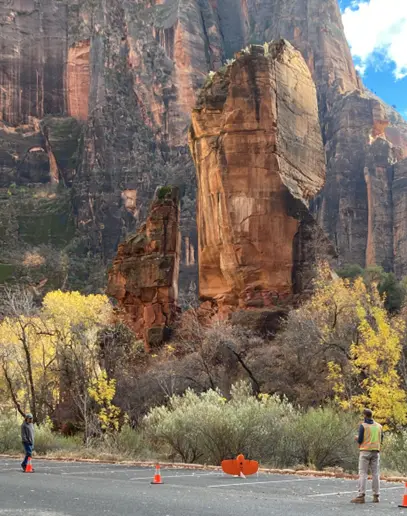
Rosenberg Associates provided a large-scale mapping project for Zion National Park that included land surveying, mapping, and aerial photography in Zion National Park. The project featured two separate flights to provide topography and aerial pictures within the park. The first area included the Lava Point lookout and campground, approximately 1,500 feet by 500 feet. The second area included a 5-mile corridor inside the main Zion Canyon including the Virgin River’s usable area, extending from the Canyon Junction Bridge to the Temple of Sinawava.
Let’s Build Something
Need any help? Please email or call us and we would be glad to answer any of your questions.