What We Do
Drone Mapping & Photography
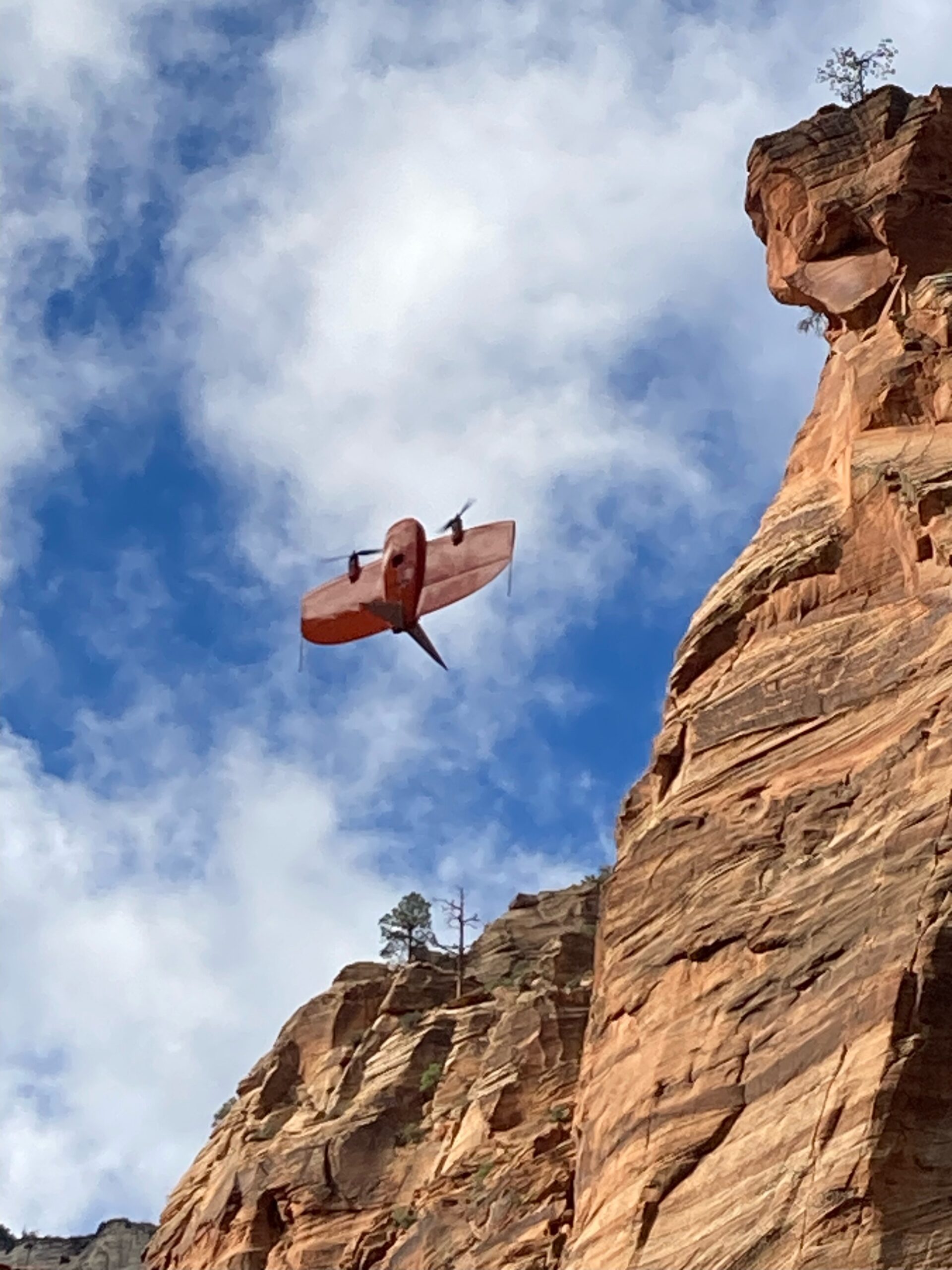
Drones can gather data, create complex maps, and create three-dimensional (3D) models for accurate, extremely detailed reports and drawings. Rosenberg offers a wide range of drones operated by licensed pilots, including the Wingtra WingtraOne fixed wing, which has been approved by the Blue UAS, and several other large and small copters for whichever project you may have.
Land surveys and cartography
These aerial surveys can produce incredibly detailed 3D models and high-resolution photos. Compared to traditional surveying, this enables us to reference our surveys with greater precision and at a lower cost.
This enables us to extract features from the photos, including roads, markers, drains, and curbs. Moreover, it is feasible to display the finely detailed 3D reconstruction of a building or other location.
Land Development
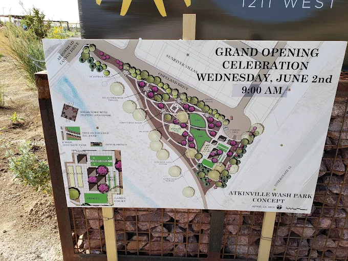
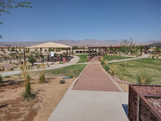
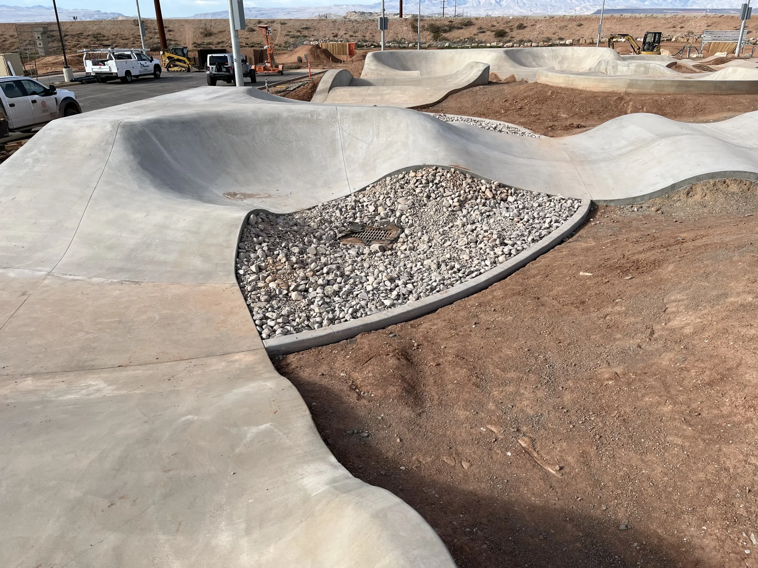
Drones can quickly conduct topographic surveys and take aerial photos for land planning and management. It can assist with site scouting, building, road, and utility construction, as well as allotment design and planning.
The topography of the site will be supported by these intricate models in pre-construction engineering studies. Drones used for aerial surveying can collect data repeatedly and inexpensively when necessary.
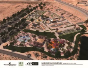
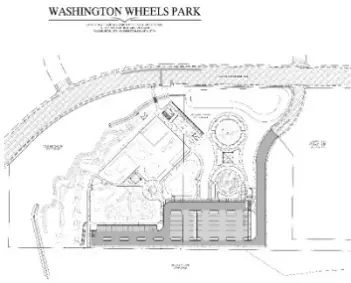
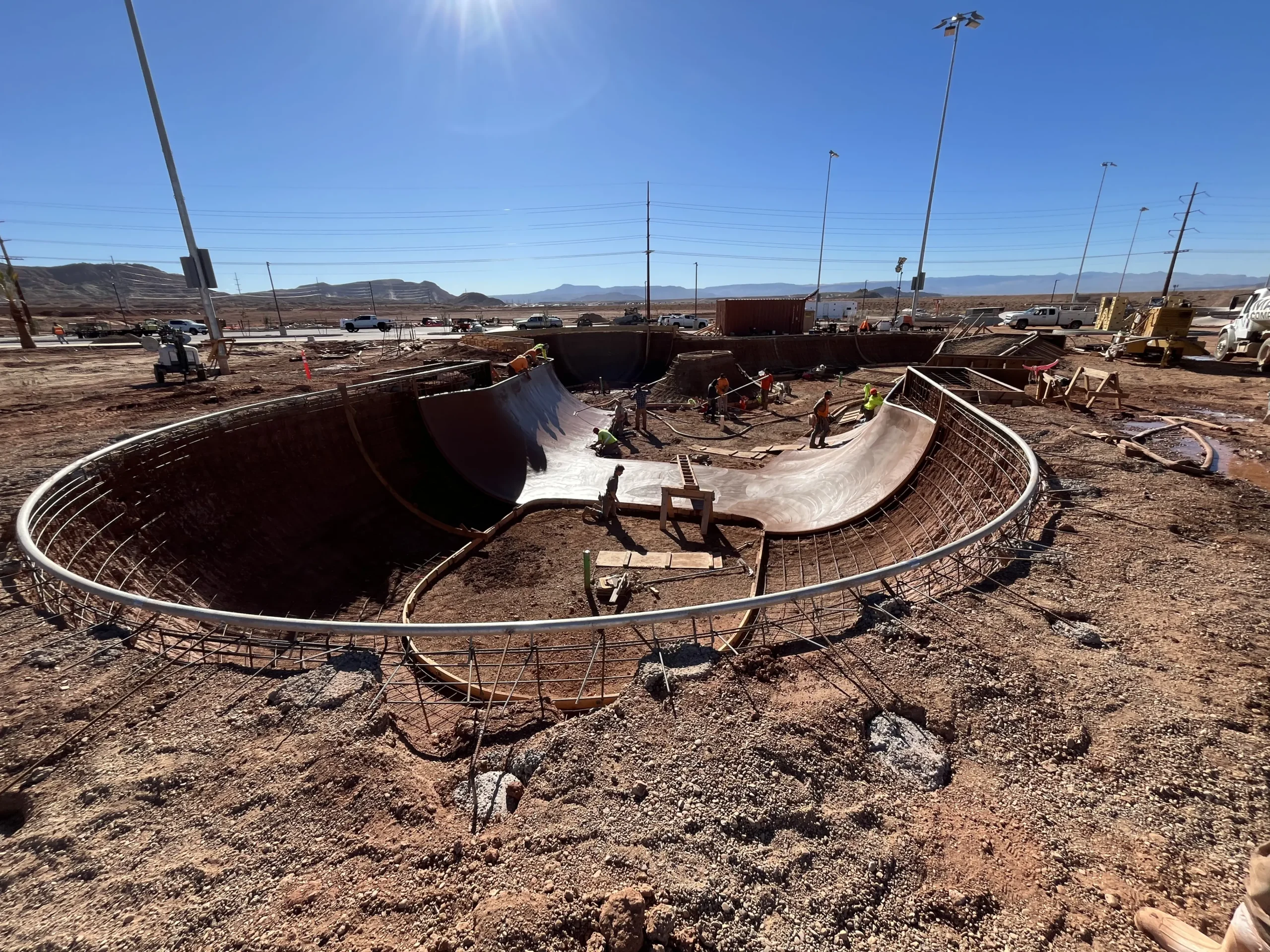
Notable Projects:
- Mapping of Lake Powell
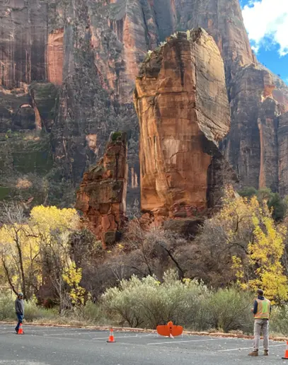
- Mapping for the main canyon of Zion Nation Park
- Quantity volumes for SR-7
- Pipeline mapping for Dominion Energy
- FEMA River corridor mapping
Check Out our Drone Mapping and Photography Projects
Let's Build Something
Need any help? Please email or call us and we would be glad to answer any of your questions.
Rosenberg Corporate Office
352 East Riverside Dr., Suite A2
St. George, UT 84790
Phone: (435) 673-8586
Fax: (435) 673-8397