
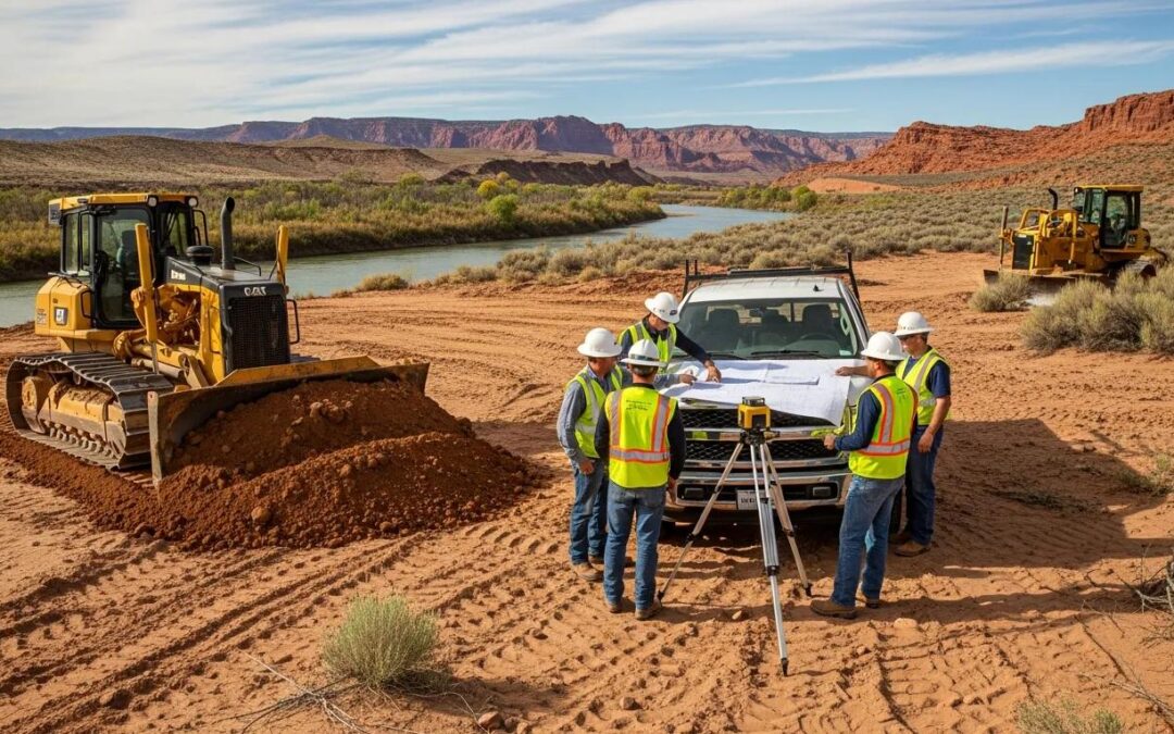
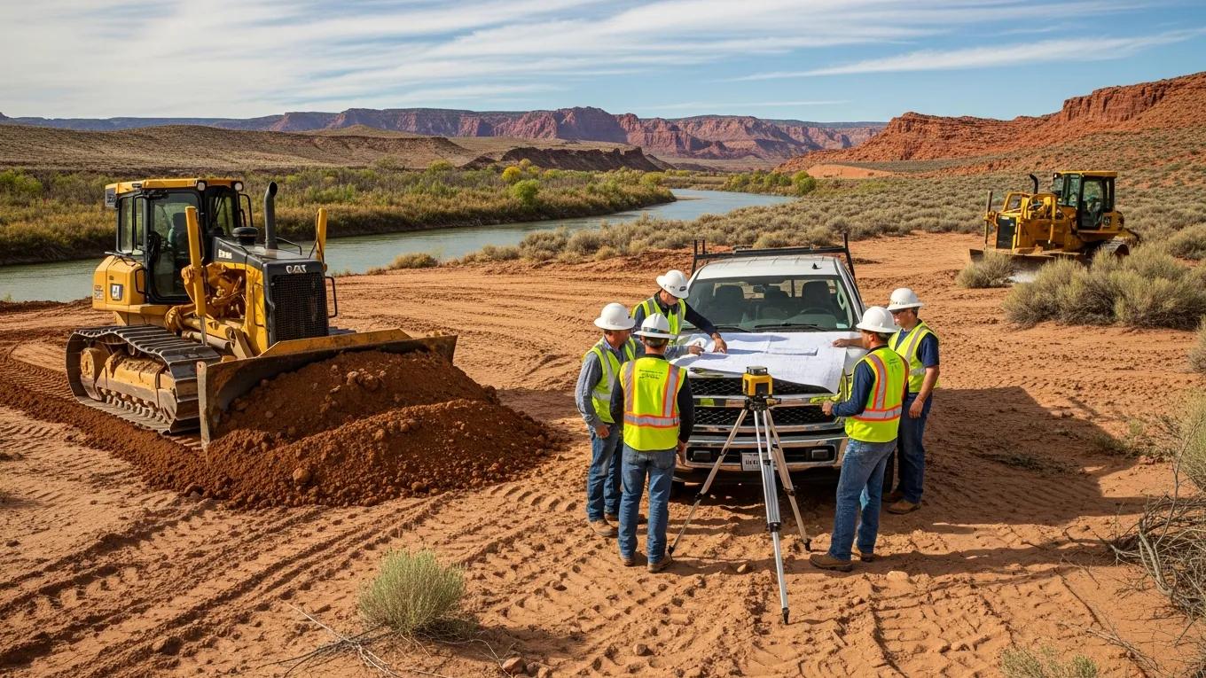
Comprehensive Civil Engineering and Land Surveying Services in Mesquite, Nevada for Commercial and Residential Development

Civil engineering and land surveying services are essential for the successful development of both commercial and residential projects in Mesquite, Nevada. These fields encompass a variety of services that ensure projects comply with local regulations and meet the community’s needs. This article will explore the vital roles these services play, the specific offerings available in Mesquite, and how they contribute to effective project delivery.

From project planning to regulatory compliance, understanding these services will provide valuable insights into the development process. Additionally, we will highlight notable projects and the importance of land surveying in defining property limits and supporting successful site planning. As we delve into these topics, we will integrate information about Rosenberg Associates, a key player in the Mesquite civil engineering landscape.

Civil Engineering Services

Civil engineering services encompass a wide array of activities that lay the groundwork for successful construction endeavors. These services include project planning, site analysis, and regulatory compliance, all crucial in facilitating the development of infrastructure in a compliant and effective manner.

Project Planning

Project planning involves the formulation of detailed construction plans and site layouts essential for any development. This stage typically includes defining project objectives, determining resources, and establishing timelines to ensure efficient execution. Effective project planning minimizes potential delays and facilitates smooth transitions through subsequent project stages.

Key components of project planning include:

  1. Defining Project Scope: Understanding the objectives and limitations of the project.
  2. Resource Allocation: Identifying necessary resources such as labor, materials, and equipment.
  3. Timeline Development: Creating a realistic schedule that allows for all project phases to be completed on time.

Site Analysis

Site analysis is a critical step in civil engineering that assesses the suitability of a specific location for a proposed project. This process involves evaluating various factors, including geological conditions, environmental impacts, and existing infrastructure.

Among the main tasks involved in site analysis are:

  • Geotechnical Investigations: Assessing soil conditions for stability and suitability for construction.
  • Environmental Assessments: Evaluating potential impacts on local ecosystems and compliance with environmental regulations.
  • Assessing Site Drainage: Ensuring adequate drainage systems to prevent flooding and water accumulation on the site.

Regulatory Compliance

Regulatory compliance ensures that all engineering designs meet local, state, and federal standards. Complying with regulations mitigates potential legal issues and facilitates smoother project approvals.

Important aspects of regulatory compliance include collaboration with:

  • Local Government: Ensuring all community requirements are met.
  • Permitting Authorities: Navigating the necessary permits and inspections required during construction.
  • Utility Providers: Coordinating with electrical, water, and gas providers to adhere to infrastructure needs.

Land Surveying Services

Land surveying services provide the groundwork for effective civil engineering projects by establishing clear property boundaries and site characteristics. These services are crucial for both commercial and residential developments in Mesquite, supporting accurate planning and compliance with zoning laws.

Survey and Mapping

Surveying and mapping involve determining land boundaries and creating accurate representations of a property. Land surveys are instrumental in legal cases, property sales, and development projects.

Different types of surveys include:

  • Boundary Surveys: Defining the precise limits of a property, vital for ownership and zoning compliance.
  • Topographic Surveys: Mapping the elevation and contour of the land, which is essential for informing site design and drainage planning.

Topographic Surveys

Topographic surveys are essential for understanding the physical landscape of a site, including elevation changes and natural features. These surveys provide a comprehensive view of a property, which is crucial for engineering design.

Key benefits of topographic surveys are:

  • Informed Design Decisions: Accurate mapping aids in designing effective structures that consider the land's natural features.
  • Environmental Impact Assessments: Identifying ecological concerns and planning for sustainable development practices.

Construction Staking

Construction staking involves marking specific locations on the site where construction will occur. This is critical for ensuring that the structures are built according to plan.

Benefits of construction staking include:

  • Precision in Building: Ensures structures are placed accurately according to architectural plans.
  • Reduced Rework: Minimizes the risk of costly mistakes during the construction phase.

Additional Services

In addition to basic civil engineering and land surveying, there are various supplementary services that enhance project success. These include environmental assessments, geotechnical investigations, and feasibility studies. These services ensure comprehensive planning and compliance, leaving no stone unturned in the construction process.

Notable Projects

Rosenberg Associates has contributed significantly to the development landscape in Mesquite, Nevada, completing various notable projects ranging from commercial centers to residential developments. These projects showcase the firm’s expertise in civil engineering and land surveying.

Some notable projects include:

  1. Mesquite Marketplace: A commercial hub focusing on retail and dining options for local residents.
  2. Desert Rose Estates: A residential community designed with sustainability and modern living in mind.
  3. Mesquite Recreation Center: An initiative providing community engagement through recreational facilities.

What Land Surveying Services Are Available in Mesquite, Nevada?

In Mesquite, land surveying services encompass a range of options that assist in legal transactions, construction planning, and development adherence. The services typically available include boundary surveys, topographic surveys, construction staking, and more.

These services are vital for ensuring that developments are built on solid legal ground, avoiding disputes over property lines, and ensuring that local zoning requirements are met.

How Do Boundary Surveys Define Property Limits in Mesquite?

Boundary surveys are conducted to establish the precise legal limits of a property. This service involves a detailed analysis of property deeds and existing landmarks to determine the boundaries conclusively. Accurate boundary surveys are essential for property ownership clarification and compliance with local regulations.

Key elements of boundary surveys include:

  • Historical Research: Examining property records to identify the original boundaries.
  • Physical Measurements: Using advanced technology to pinpoint existing markers and boundaries accurately.

What Are the Applications of Topographic Surveys for Site Planning?

Topographic surveys play a critical role in site planning by providing detailed information about the layout and features of a parcel of land. These surveys are used to inform decisions regarding building placement, drainage planning, and overall site management.

Applications of topographic surveys include:

  • Design Layouts: Assisting architects and engineers in visualizing how structures will fit within the landscape.
  • Water Management: Planning for adequate drainage solutions to minimize flooding and water issues.

Which Civil Engineering Consulting Services Support Commercial Site Development in Mesquite?

Civil engineering consulting services in Mesquite assist with various aspects of commercial site development, including project planning, feasibility analysis, and environmental impact assessments. These consulting services are designed to streamline the development process while ensuring regulatory compliance and community satisfaction.

Key consulting services include:

  • Pre-Development Analysis: Evaluating the feasibility of projects before commencement.
  • Community Engagement: Collaborating with local stakeholders to address community concerns and expectations.

How Is Grading and Drainage Design Implemented for Regional Compliance?
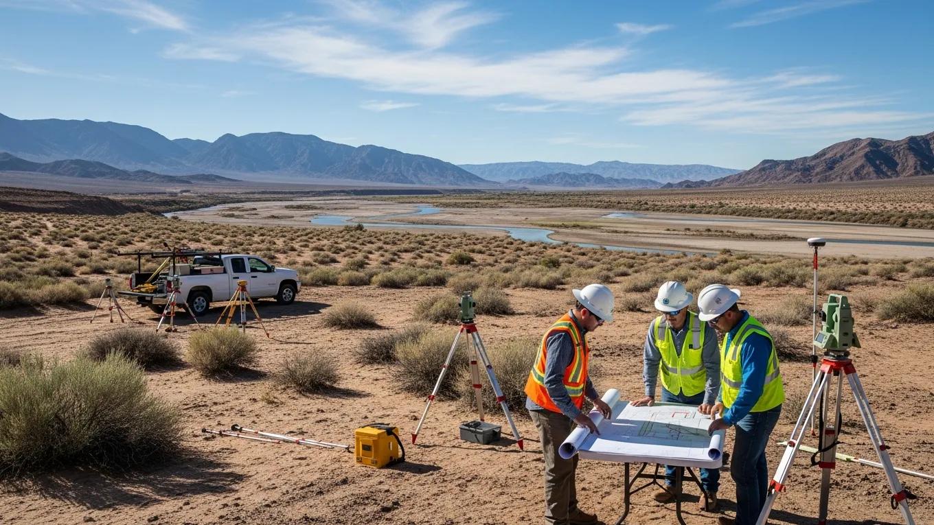
Grading and drainage design are essential parts of civil engineering that ensure land is properly contoured to direct water flow and prevent flooding. Implementing effective grading designs in compliance with local regulations is critical in Mesquite’s arid climate.

These practices typically involve:

  • Assessment of Natural Contours: Understanding the land's natural slope to guide water flow.
  • Collaboration with Local Agencies: Ensuring that drainage designs meet municipal regulations for environmental protection.

What Permitting Support Services Facilitate Project Approvals?

Navigating the permitting process can be complex, and civil engineering firms often provide support services that streamline this process for developers. By working closely with local permitting authorities, Rosenberg Associates ensures compliance and facilitates quicker approval times.

Key permitting support services include:

  • Document Preparation: Assisting clients with the documentation required for permits.
  • Regulatory Liaison: Serving as an intermediary between clients and government agencies to resolve issues.

How Does Rosenberg Associates Demonstrate Expertise Through Project Portfolios and Case Studies?

Rosenberg Associates showcases its experience and expertise through a well-documented project portfolio that includes detailed case studies highlighting their successes and lessons learned. These documents offer potential clients insights into the firm’s capabilities and the complexity of the projects they manage.

Key aspects of the portfolio include:

  • Diverse Project Types: Illustrating a wide range of completed projects across various sectors.
  • Impact Assessments: Offering data and analyses that detail the outcomes and benefits of past projects.

What Are Key Commercial and Residential Projects Completed in Southern Nevada?

In Southern Nevada, various significant commercial and residential projects have been completed, demonstrating the firm’s commitment to quality and community needs. The successes of these projects reflect the high standards upheld by Rosenberg Associates.

Key projects include:

  1. Southern Nevada Industrial Park: A development aimed at fostering local businesses and creating jobs.
  2. Sunrise Vista Homes: A residential community designed for modern family living.

How Do Project Outcomes Reflect Local Regulatory and Environmental Standards?

The outcomes of projects managed by civil engineering firms such as Rosenberg Associates consistently align with local regulatory and environmental standards. This compliance ensures sustainable development that meets community expectations while protecting natural resources.

In evaluating project outcomes, factors to consider include:

  • Community Satisfaction: Feedback from residents and local officials regarding the impact of new developments.
  • Environmental Impact: Assessment of any ecological changes resulting from construction practices.

What Are the Local Regulatory and Permitting Requirements for Site Development in Mesquite?

Local regulatory and permitting requirements for site development in Mesquite involve obtaining various approvals from different governing bodies. Understanding these requirements is crucial for ensuring that developments proceed smoothly without unnecessary delays.

Requirements typically include:

  • Development Review Permits: Essential for assessing proposed projects against community standards.
  • Environmental Permits: Necessary for projects that may affect local ecosystems.

Which Permits Are Essential for Boundary and Construction Staking Surveys?

Obtaining the appropriate permits for boundary and construction staking surveys is vital to ensure legal compliance and accuracy. These permits typically involve:

  1. Land Use Permits: Reviewing proposed uses in accordance with zoning laws.
  2. Surveying Permits: Legally allowing surveyors to conduct their assessments on the property.

How Do Recent Regulatory Changes Impact Civil Engineering Practices?

Recent regulatory changes can significantly impact civil engineering practices, as firms must adapt to new laws and standards efficiently. Staying abreast of these changes is crucial for maintaining compliance and ensuring project success.

Firms like Rosenberg Associates regularly engage with local regulatory bodies to understand emerging requirements and adjust their practices accordingly.

To sum up, understanding the comprehensive civil engineering and land surveying services in Mesquite, Nevada, alongside the critical role played by firms like Rosenberg Associates, offers valuable insights into effective project development. Engaging with these services ensures projects are executed efficiently, sustainably, and in compliance with local regulations.