
Key Takeaways
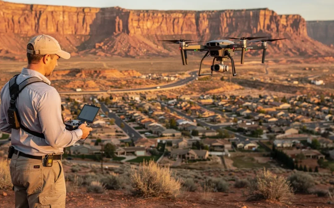
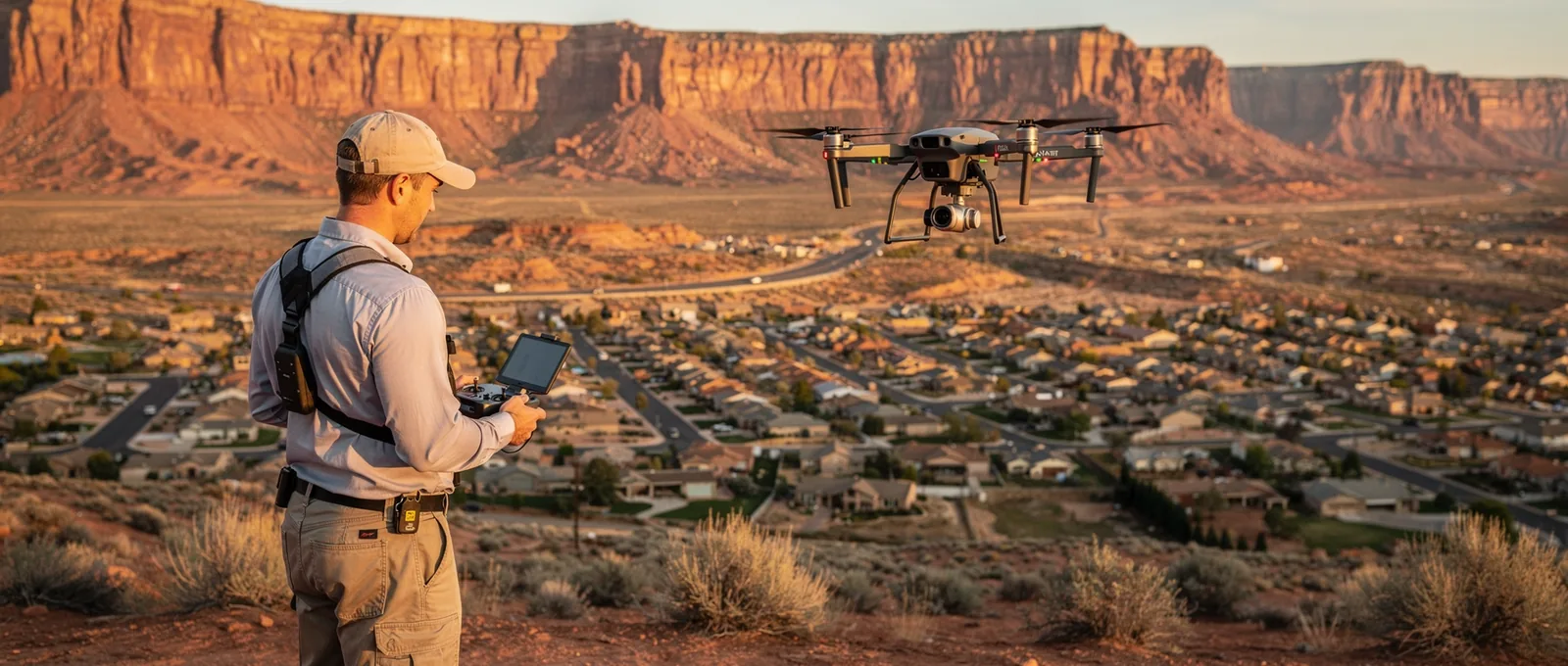
- Drone mapping reduces field time and improves safety over challenging terrain in Hurricane, Utah.
- Fixed-wing and multirotor systems capture topographic detail ground crews cannot match for speed or safety.
- Flash flooding reshapes drainages rapidly, requiring immediate aerial assessment to record post-flood conditions.
- Drone surveys achieve centimeter-level accuracy when combined with ground control points and real-time kinematic positioning.
Why use drone mapping in Hurricane, Utah?
What makes Hurricane’s terrain suited for aerial surveys?
How does flooding affect survey timing in Hurricane?
What qualifications should a drone operator hold?
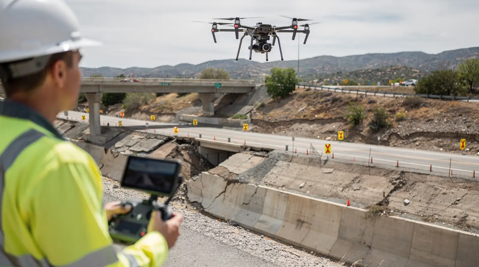
What is drone mapping for civil engineering?
How accurate are drone surveys compared to traditional methods?
What deliverables come from a drone mapping project?
How do licensed drone pilots ensure accuracy?
What role do ground control points play in drone accuracy?
How does Hurricane weather affect drone survey planning?
- FAA Part 107 compliance for legal flight operations
- Calibrated ground control points tied to survey benchmarks
- Weather monitoring using real-time NEXRAD data