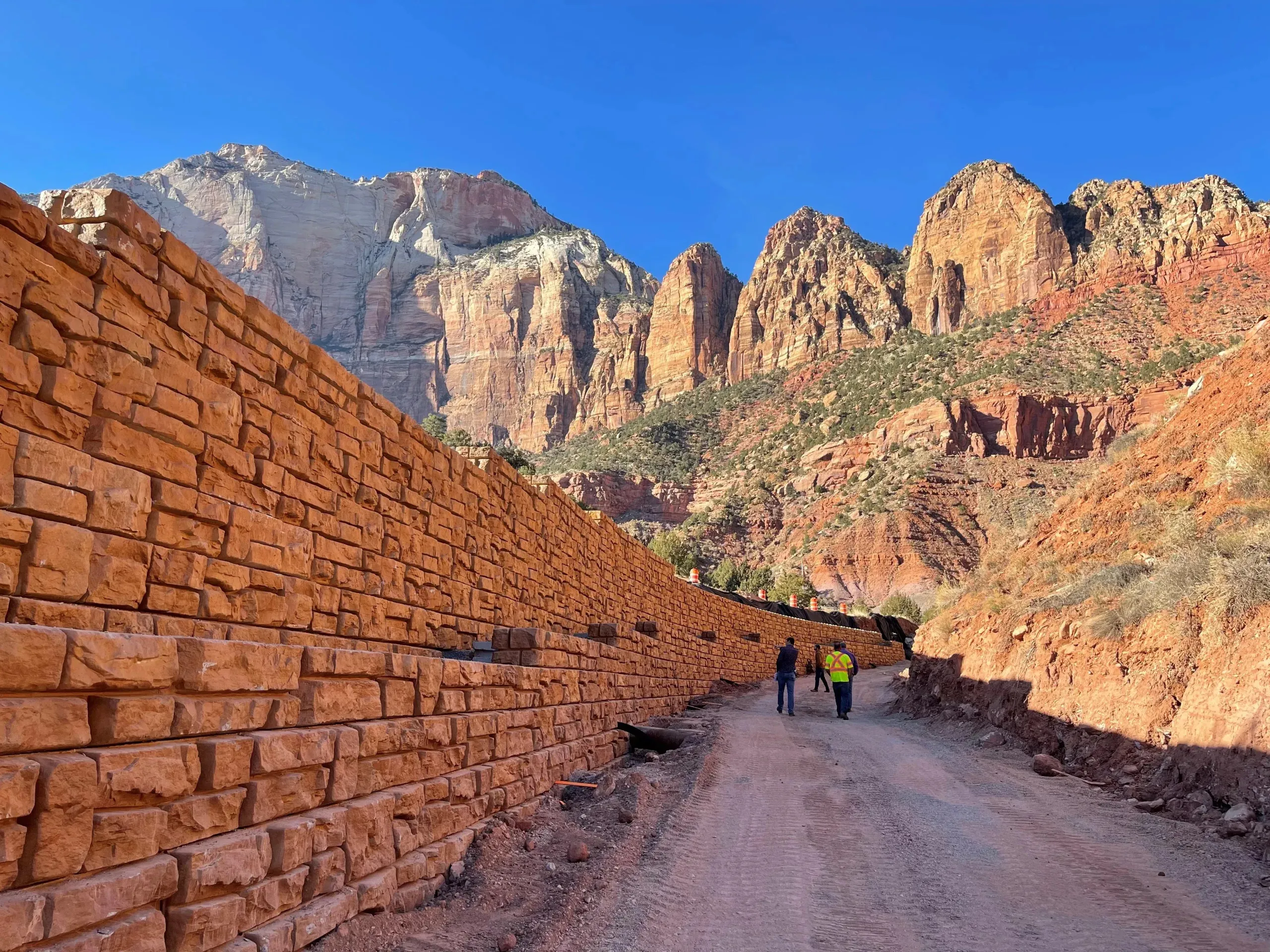
Civil engineering projects in Mesquite, Nevada depend on precise grading and drainage design, accurate land surveying, and coordinated structural analysis to manage the region’s arid terrain and flash-flood drainage patterns. Rosenberg Associates applies decades of civil engineering licensure, in-house land surveying, and NDOT-aligned standards across Mesquite and surrounding Southern Nevada communities, including Logandale, Overton, Caliente, and Panaca.

Key Takeaways

  • Grading and drainage design manages stormwater flow and prevents erosion, foundation damage, and flooding on Mesquite-area sites.
  • Land surveying establishes the boundary, topographic, and ALTA/ACSM data that every civil engineering plan depends on.
  • Rosenberg Associates applies NDOT standards and local regulatory requirements across Mesquite, Nevada and surrounding communities.
  • Retaining wall and slope stabilization design supports grading plans where elevation changes are severe.

What makes grading and drainage design critical for site development in Mesquite, Nevada?

Grading and drainage design shapes how a site manages stormwater, erosion, and long-term structural performance. A site graded without engineered drainage concentrates runoff in unintended paths, undermining foundations, eroding slopes, and overwhelming downstream infrastructure. Mesquite’s desert terrain and flash-flood exposure make deliberate grading and drainage planning a prerequisite for any commercial or residential development, not an afterthought addressed after construction begins.

How does land surveying support accurate grading plans?

Land surveying establishes the ground truth that grading and drainage design relies on. Topographic surveys capture existing elevations, drainage paths, and site features before a single grading contour is drawn. Legal boundary surveys confirm ownership lines and easements that constrain where grading and drainage improvements can extend. Without this foundational survey data, grading plans rest on assumptions rather than verified site conditions, a gap that produces costly field corrections later.

What role does civil engineering play in stabilizing Southern Nevada terrain?

Civil engineering coordinates grading, drainage, surveying, and structural disciplines into a single, buildable plan. Rosenberg Associates brings over three decades of experience to sites where desert soils and abrupt elevation changes complicate standard design assumptions. The firm’s multi-disciplinary licensed team spans civil, structural, surveying, geotechnical, and environmental disciplines, a breadth that matters when drainage, grading, and slope stability decisions all affect one another on the same site.

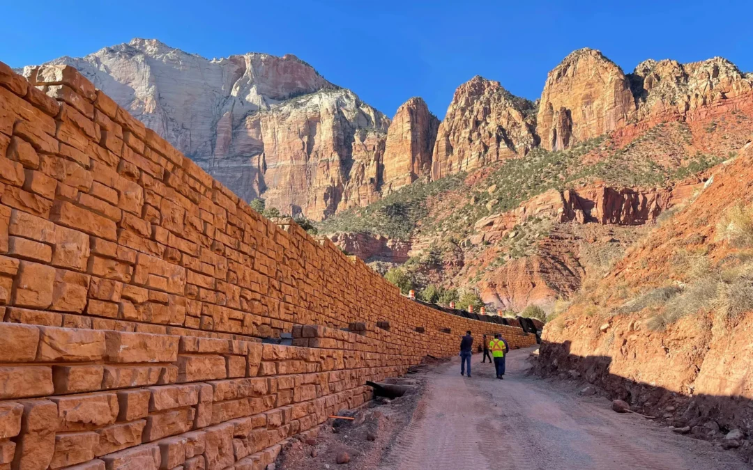
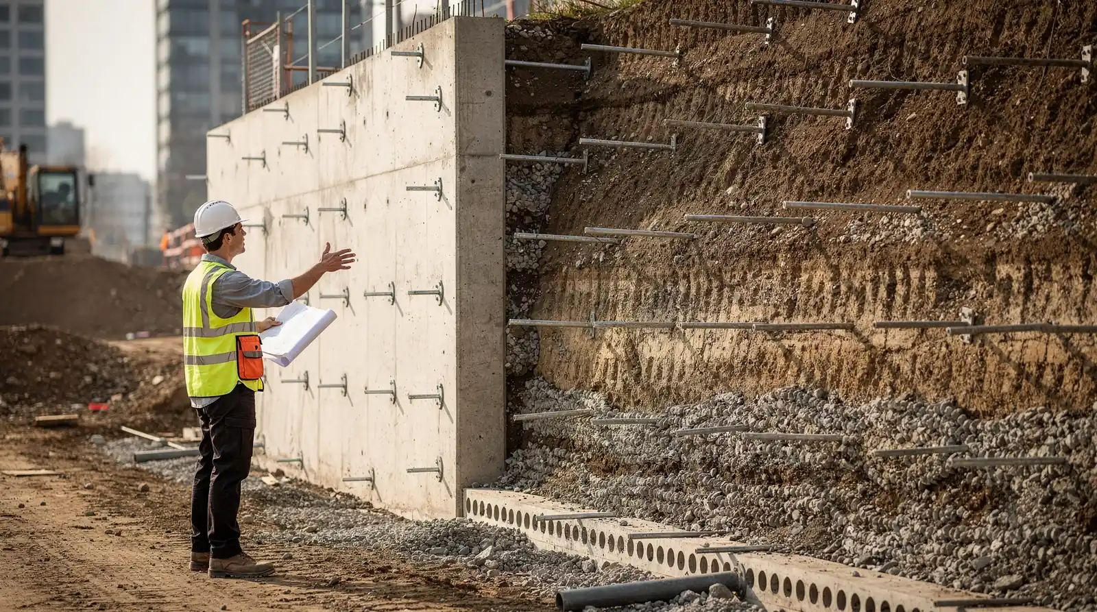
Where elevation changes are severe, retaining wall design supports the broader grading plan by holding graded slopes in place. These structures use mass or reinforced sections to resist lateral soil pressure, preventing the downhill erosion and drainage disruption that an unsupported slope eventually produces. Rosenberg Associates integrates retaining wall analysis into grading and drainage design rather than treating it as a separate calculation, so the finished site performs as one coordinated system.

How do civil engineers approach grading and drainage plans in Mesquite?

Grading and drainage design begins with the site’s natural topography and works outward to the regulatory and hydraulic requirements that govern the finished plan. Civil engineering services encompass site layout, grading and drainage design, and utility and street improvements, each element shaping how water moves across a site once construction is complete.

What stormwater and hydraulic considerations matter in Southern Nevada?

Flash-flood hydrology drives drainage sizing decisions across the Mesquite region. Engineers model peak flows, channel capacity, and detention requirements to confirm that a site’s drainage system performs during the short, intense storm events typical of the desert Southwest. Rosenberg Associates applies hydraulic modeling and erosion control analysis, the same disciplines the firm uses on river and floodplain projects, to keep grading and drainage plans aligned with real storm behavior rather than generic assumptions.

How does land surveying reduce project risk?

Accurate land surveying reduces the risk of grading plans that conflict with legal boundaries, existing easements, or utility corridors. Right-of-way preparation and ALTA/ACSM documentation confirm exactly what a developer owns and what obligations run with the land before grading begins. Resolving these questions early prevents the redesign cycles and construction delays that surface when survey data is incomplete or outdated.

What land surveying services support civil engineering projects in Mesquite, Nevada?

Land surveying underpins every stage of a civil engineering project, from initial site evaluation through final as-built verification. Survey and mapping capabilities include legal boundary surveys, topographic mapping, aerial mapping integration, ALTA/ACSM documentation, and right-of-way preparation, each feeding directly into grading, drainage, and utility design decisions.

What types of land surveys do civil engineering projects require?

Topographic surveys document existing ground elevations and features that inform grading contours. Boundary surveys establish legal property lines that constrain site layout. Right-of-way surveys clarify roadway and utility easements before infrastructure improvements proceed. Each survey type answers a distinct question that a grading and drainage plan cannot responsibly proceed without.

How does ALTA/ACSM documentation support land development?

ALTA/ACSM land title surveys combine boundary, topographic, and title information into a single standardized deliverable that lenders, title companies, and developers all rely on. This documentation surfaces encroachments, easements, and zoning setbacks early, reducing transactional risk for commercial development in Mesquite and the surrounding Southern Nevada market.

How does civil engineering in Mesquite, Nevada address local challenges?

Civil engineering in Mesquite confronts desert soils, flash-flood drainage, and a regulatory framework distinct from neighboring states. Rosenberg Associates, based in St. George, UT, has extended its civil engineering, surveying, and structural services into Mesquite and surrounding Southern Nevada communities, applying the same disciplined, multi-disciplinary approach across state lines.

What NDOT standards and regulatory requirements govern Mesquite projects?

Rosenberg Associates’ team is experienced with NDOT standards and local regulatory requirements across the Mesquite, Nevada area. Grading, drainage, and utility improvements must align with these standards before permitting proceeds, and early coordination with regulatory bodies prevents conflicts that otherwise surface during construction administration.

How does retaining wall and slope design factor into grading plans?

On sites where grading alone cannot manage elevation change safely, retaining wall design supplements the broader civil engineering plan. The firm evaluates site geometry, backfill properties, and drainage behind the wall to determine whether a gravity, cantilever, or mechanically stabilized earth solution best fits the grading plan, keeping wall performance and overall site drainage working together rather than in conflict.

What should developers expect from a civil engineering project process in Mesquite?

A civil engineering project begins with a comprehensive site assessment that combines land surveying, grading analysis, and drainage evaluation before any structural calculations commence. Without this foundational work, grading plans risk conflicting with legal boundaries, utility corridors, or drainage requirements discovered only after construction starts.

How does site layout influence grading and drainage design?

Site layout determines building placement, access points, and the grading contours needed to direct water away from structures. Civil engineering services encompass site layout, grading and drainage design, and utility and street improvements, and these elements directly shape construction sequencing and budgeting.

What role do local standards play in the design phase?

Local standards govern material selection, drainage sizing, and permitting requirements specific to Mesquite and the surrounding Nevada communities. Rosenberg Associates prepares infrastructure construction plans meeting these local standards, giving developers, builders, and municipal managers reliable budgeting figures before site work begins and helping eliminate costly redesign cycles during permitting.

Field verification closes the design loop. Rosenberg Associates delivers staking services and construction administration so that constructed grading, drainage, and survey monuments match design intent, protecting the developer’s investment against performance failures after occupancy.

FAQ

What areas of Nevada does Rosenberg Associates serve?

Rosenberg Associates serves the Mesquite, Nevada area and surrounding communities in Southern Nevada, including Logandale, Overton, Caliente, and Panaca, applying NDOT standards and local regulatory knowledge to each project.

Why does grading and drainage design matter for a Mesquite development?

Grading and drainage design manages how stormwater moves across a site, preventing erosion, foundation damage, and flooding that result from unmanaged runoff in the region’s flash-flood-prone terrain.

What land surveying services does Rosenberg Associates provide?

Rosenberg Associates provides legal boundary surveys, topographic mapping, aerial mapping integration, ALTA/ACSM documentation, and right-of-way preparation to support civil engineering and development projects.

How does retaining wall design relate to grading and drainage planning?

Retaining wall design supports grading plans on sites with severe elevation change, holding graded slopes in place while drainage systems direct water away from the wall and surrounding structures.

Conclusion

Civil engineering projects in Mesquite, Nevada depend on coordinated grading and drainage design, accurate land surveying, and sound structural judgment applied together rather than in isolation. Rosenberg Associates brings NDOT-aligned standards, in-house survey capability, and decades of multi-disciplinary engineering experience to developers, municipal planners, and property owners across Mesquite and the surrounding Southern Nevada communities. This integrated approach protects project investments against drainage failures, boundary disputes, and costly redesign cycles.