Accurate boundary and site data determine whether a St. George development moves forward on schedule

Survey and mapping services in St. George include boundary surveys, topographic mapping, section corner searches, and title work, provided by Rosenberg Associates. Field crews establish horizontal and vertical control, set aerial targets, and produce detailed base maps for developers, contractors, and municipal planners managing projects across Washington County.

Key Takeaways

  • Rosenberg Associates delivers comprehensive surveying services including boundary determination and section corner searches.
  • Our 17-person team executes field surveys and document research for accurate land ownership documentation.
  • We provide specialized mapping services including topographic surveys, platting, and geographic information systems.
  • Rosenberg Associates completes survey title work and sectional breakdowns for St. George property projects.

Why Do St. George Developers Need Survey Services?

Accurate boundary and site data determine whether a St. George development moves forward on schedule or stalls under correction orders. Land developers, commercial property owners, civil contractors, and municipal planners rely on precise survey data to avoid costly redesigns, boundary disputes, and permitting delays. Southwestern Utah’s terrain complicates this work: steep grade changes, shifting soil conditions, and sharp climate variation between higher elevations and lower desert zones all affect how a site drains, settles, and builds out. Skipping a thorough survey on this kind of terrain risks discovering problems after construction begins, when fixes cost far more.


Reliable survey services st george developers trust give project teams the groundwork needed before design decisions lock in. Rosenberg Associates provides a range of surveying and mapping services for projects throughout St. cite-1 George, covering everything from boundary determination to site mapping for new construction.

What Does a Topographic Survey Add to a St. George Project?

A topographic survey st george ut teams commission maps elevation changes, drainage paths, and existing site features before grading begins. This data shapes decisions on grading, drainage design, and utility placement, reducing the chance of redesign mid-construction. For sites spanning varied terrain, topographic accuracy directly affects cost control.

Why Does Local Terrain Knowledge Matter for Surveying?

A st george land survey southern utah teams can depend on requires familiarity with regional soil behavior. Climate extremes unique to the area. Desert-to-mountain elevation swings create conditions that out-of-area survey providers often misjudge.

Developers evaluating where to find survey services st george benefit from working with a local surveyor st george has relied on, a firm with direct, long-term experience navigating Southern Utah’s development landscape.

What Survey And Mapping Services Does Rosenberg Offer?

Rosenberg Associates delivers boundary surveys, topographic mapping, section corner searches, and title work for developers, contractors, and municipal planners to move projects from concept to construction. Field crews handle document research and boundary determination, establishing clear land ownership through sectional breakdowns, section corner searches, and title work. This foundation matters in Washington County, where parcel histories and desert terrain complicate straightforward boundary claims.

Precision starts in the field. Survey crews establish horizontal and vertical control, then build topographic surveys into accurate project base maps. cite-1 For any topographic survey st george ut site, that base map becomes the reference point for grading, drainage, and utility design that follows.

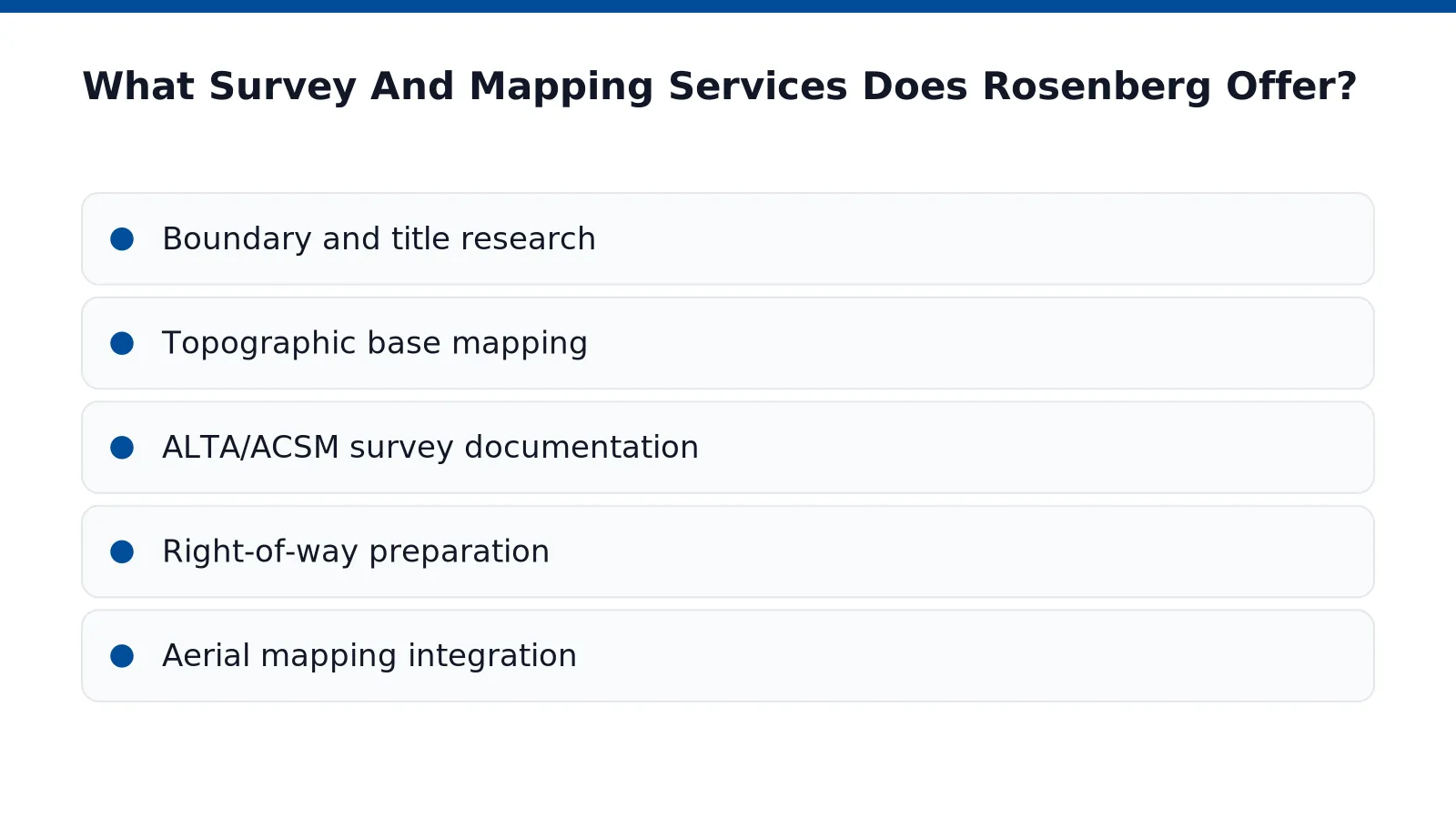
Rosenberg’s capabilities extend well beyond boundary work. Services include legal boundary surveys, topographic mapping, aerial mapping integration, ALTA/ACSM documentation, and right-of-way preparation, covering the documentation commercial lenders and title companies require before closing. A st george land survey southern utah project often needs several of these deliverables working together rather than a single standalone report.

What Makes Rosenberg a Reliable Local Surveyor in St. George?

Experience across multiple engineering disciplines sets Rosenberg apart as a local surveyor st george property owners and planners can depend on. The firm’s engineering services span civil, structural, survey, mapping, geotechnical, environmental, construction, river, and floodplain management work. That breadth means survey data gets produced with downstream engineering needs already in view, reducing rework between disciplines.

Where to Find Survey Services in St. George?

Where to find survey services st george developers and municipalities need begins with a firm that handles both field work and office documentation under one roof:

  • Boundary and title research
  • Topographic base mapping
  • ALTA/ACSM survey documentation
  • Right-of-way preparation
  • Aerial mapping integration

Developers planning subdivisions, commercial sites, or public infrastructure in St. George gain efficiency when boundary, topographic, and mapping deliverables come from a single coordinated team rather than multiple vendors.

How Does Topographic And Aerial Mapping Work Locally?

Topographic and aerial mapping in St. George combines ground-based field control with drone technology to produce accurate elevation data and site imagery. Crews establish horizontal and vertical control points across a parcel, then layer in aerial data collection for a complete picture of the terrain. The result serves land developers and municipal planners who need reliable base maps before design work begins.

On larger St. George parcels, field crews set aerial targets and tie in detailed ground information before coordinating with an aerial mapping provider for photography and mapping support. cite-1 This hybrid approach anchors aerial imagery to precise ground coordinates, eliminating the drift that can occur when photography stands alone without verified control points. Developers planning multi-phase projects benefit from this accuracy. Errors at the mapping stage compound through grading, utility design, and final platting.

Drone-based systems add speed to the process. These platforms conduct topographic survey st george ut work. Capture aerial photography quickly, supporting land planning and site management decisions without the extended timelines traditional ground survey methods sometimes require.

Why choose aerial surveys over traditional ground methods?

Aerial surveys reference site data with greater precision and typically cost less than traditional surveying alone. Large or difficult-to-access parcels, common throughout Washington County’s varied terrain, see the biggest efficiency gains from this method.

Does mapping support floodplain analysis?

Yes. Mapping work can include cross sections of river channels, data used to support FEMA floodway and floodplain determinations. cite-1 This matters directly for commercial property owners and civil contractors working near drainage corridors. Accurate elevation data affects permitting outcomes.

Property owners and municipal planners seeking survey services st george should expect this combined ground-and-aerial methodology as standard practice for any serious st george land survey southern utah project.

Why Choose A Local Surveyor In St. George?

Regional familiarity separates a qualified local surveyor St. George developers can trust from an out-of-area firm unfamiliar with Washington County’s terrain. St. George’s growth brings shifting boundary lines, new subdivisions, and expanding infrastructure demands. A surveyor working this ground daily understands the pressure that rapid development places on project timelines and regulatory approval. Firms rooted in the region stay current with local government agencies, helping projects remain viable as population growth reshapes zoning and permitting requirements while preserving the surrounding landscape.

Finding where to find survey services St. George property owners can rely on means looking for a team with depth, not just a single licensed name on a stamp. Rosenberg Associates fields a staff built for exactly this kind of multi-disciplinary demand: licensed land surveyors working alongside project managers, designers, and dedicated survey crews. That structure matters because boundary research, topographic mapping, and construction staking rarely happen in isolation on active development sites.

How many people support a St. George survey project? Rosenberg Associates employs 17 staff members, giving local projects coordinated support across engineering and surveying disciplines. This size allows survey crews to work alongside civil engineers. Designers on the same project, rather than passing work between disconnected firms.

Does service extend beyond St. George? Coverage extends across Southwestern Utah and adjacent regions, placing Washington County developments within a firm’s established service area. Developers managing portfolios across the county gain consistency: the same survey services St. George reviewers see on one project can carry through boundary work, topographic survey St. George UT deliverables, and construction staking on the next.

For a St. George land survey Southern Utah developers can build on, local presence reduces risk at every permitting stage.

How Do You Get Started With Rosenberg Associates?

Engagement begins with a project conversation covering scope, timeline, and site details for the St. George parcel in question. From that starting point, Rosenberg Associates manages survey services St George projects from initial research through final completion, eliminating the need for multiple vendors as a project moves forward. Developers, contractors, and municipal planners benefit from a single point of contact across the full engineering and mapping process.

Every property differs, and project scope reflects that reality. A St George land survey Southern Utah engagement might involve a straightforward single-lot survey or a complex ALTA/ASCM document covering a large, multi-parcel development. Records of survey span this full range, giving clients confidence that scale is not a barrier to service.

What Should Developers Expect During the Design Process?

A flexible, listening-driven approach guides each project from concept to completion. Design decisions account for input from both the developer and the surrounding community, which has produced successful outcomes on projects throughout the region. Planners working on master-planned or phased developments gain a partner willing to adapt as site conditions and priorities shift.

Where To Find Survey Services St George Clients Can Rely On?

Reliability comes down to responsiveness and precision, whether the task is a topographic survey St George UT or a boundary determination for a commercial site. Clients working with a local surveyor St George trusts receive courteous, professional, and timely service at every stage. That commitment keeps developers, contractors, and municipal planners informed and confident from first contact through project delivery.

FAQ

What survey and mapping services does Rosenberg Associates provide in St. George?

Rosenberg Associates offers boundary surveys, topographic mapping, section corner searches, title work, platting, and geographic information systems for developers, contractors, and municipal planners across Washington County.

Why is local terrain knowledge important for surveying in St. George?

Southwestern Utah’s steep grade changes, shifting soil conditions, and sharp climate variation between elevations affect drainage and construction, making familiarity with regional terrain essential for accurate surveys.

What does a topographic survey provide for a St. George construction project?

A topographic survey maps elevation changes, drainage paths, and existing site features before grading, informing decisions on drainage design and utility placement to reduce mid-construction redesigns.

Conclusion

In closing, survey and mapping services form the technical foundation upon which successful development and infrastructure projects are built. Rosenberg Associates delivers comprehensive surveying and mapping capabilities, from legal boundary documentation to aerial precision mapping, grounded in decades of local expertise and multi-disciplinary coordination. Whether navigating Southern Utah’s complex terrain or supporting regulatory compliance, these services ensure projects proceed with accuracy, efficiency, and confidence from conception through completion.