
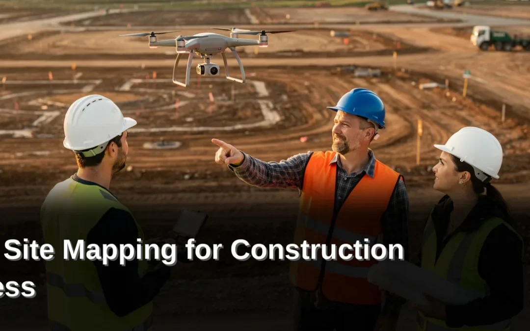
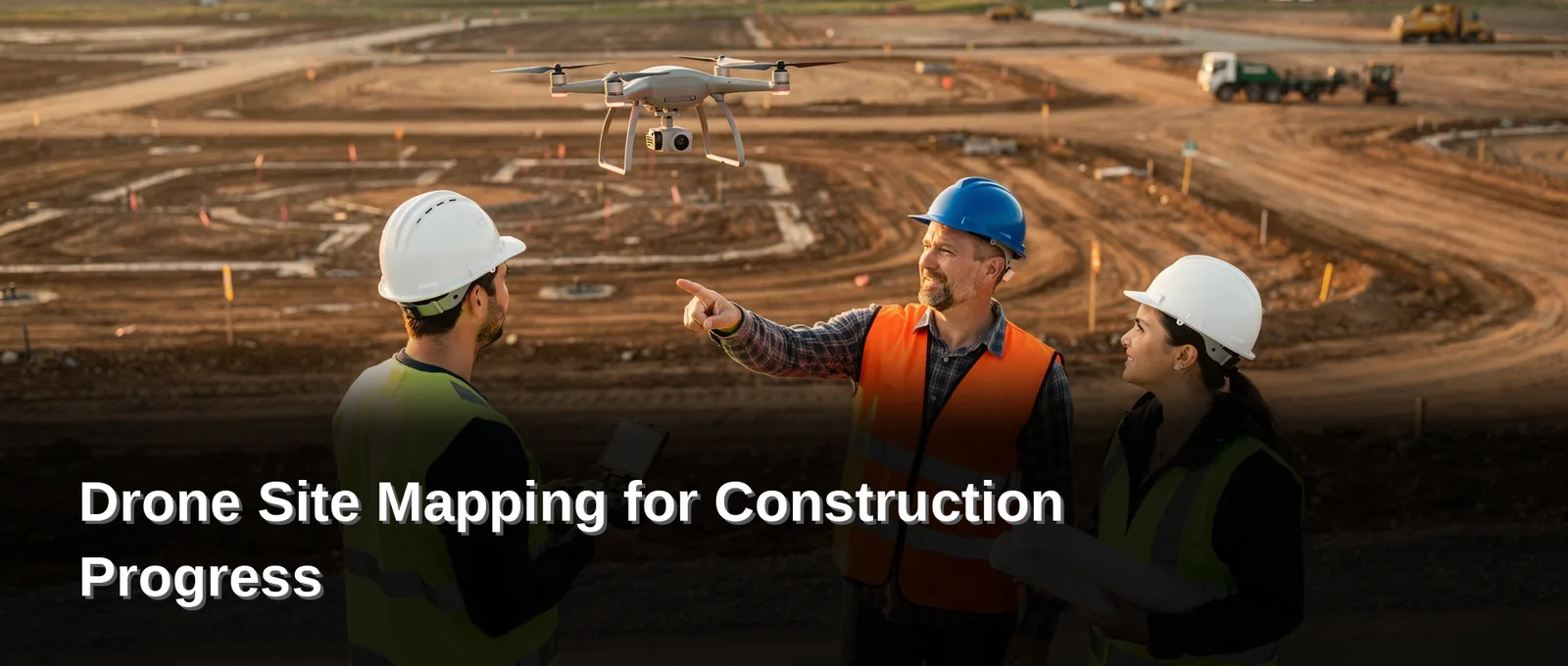
Drone mapping delivers centimeter-accurate topographic surveys and 3D models for land development and construction monitoring. Rosenberg Associates uses the Wingtra WingtraOne fixed-wing drone, approved by Blue UAS, to replace slower traditional methods. Drone site mapping provides developers and project managers with precise, real-time site data without ground crew delays.

Key Takeaways

  • Drone mapping delivers centimeter-accurate topographic surveys and 3D models for land development and construction monitoring.
  • Drone photogrammetry extracts measurable features from overlapping aerial images, converting them into precise, measurable data.
  • Construction monitoring with drones gives project managers full site visibility without physical inspections.
  • Site monitoring with drones replaces infrequent walkthroughs with regular, automated documentation.

Why use drones for land development?

Drones transform land development by delivering high-accuracy topographic data and detailed 3D models faster than traditional methods. Aerial surveys produce incredibly detailed reconstructions at a lower cost, giving developers precise site intelligence without the delays of ground-based crews. Without this capability, project teams lose weeks to manual data collection and risk basing design decisions on outdated or incomplete terrain information.

Drone site mapping captures comprehensive spatial data that traditional surveying cannot match for speed or coverage. Fixed-wing and multirotor platforms gather high-resolution photos and generate complex maps for accurate, detailed reports and drawings. The resulting datasets support everything from initial feasibility studies to final grading plans.

How does drone photogrammetry improve survey accuracy?

Drone photogrammetry extracts measurable features from overlapping aerial images. Roads, markers, drains, and curbs become identifiable elements within a georeferenced 3D model. This process enables survey teams to reference measurements with greater precision than ground-only methods allow.

What role do progress aerials play in construction monitoring?
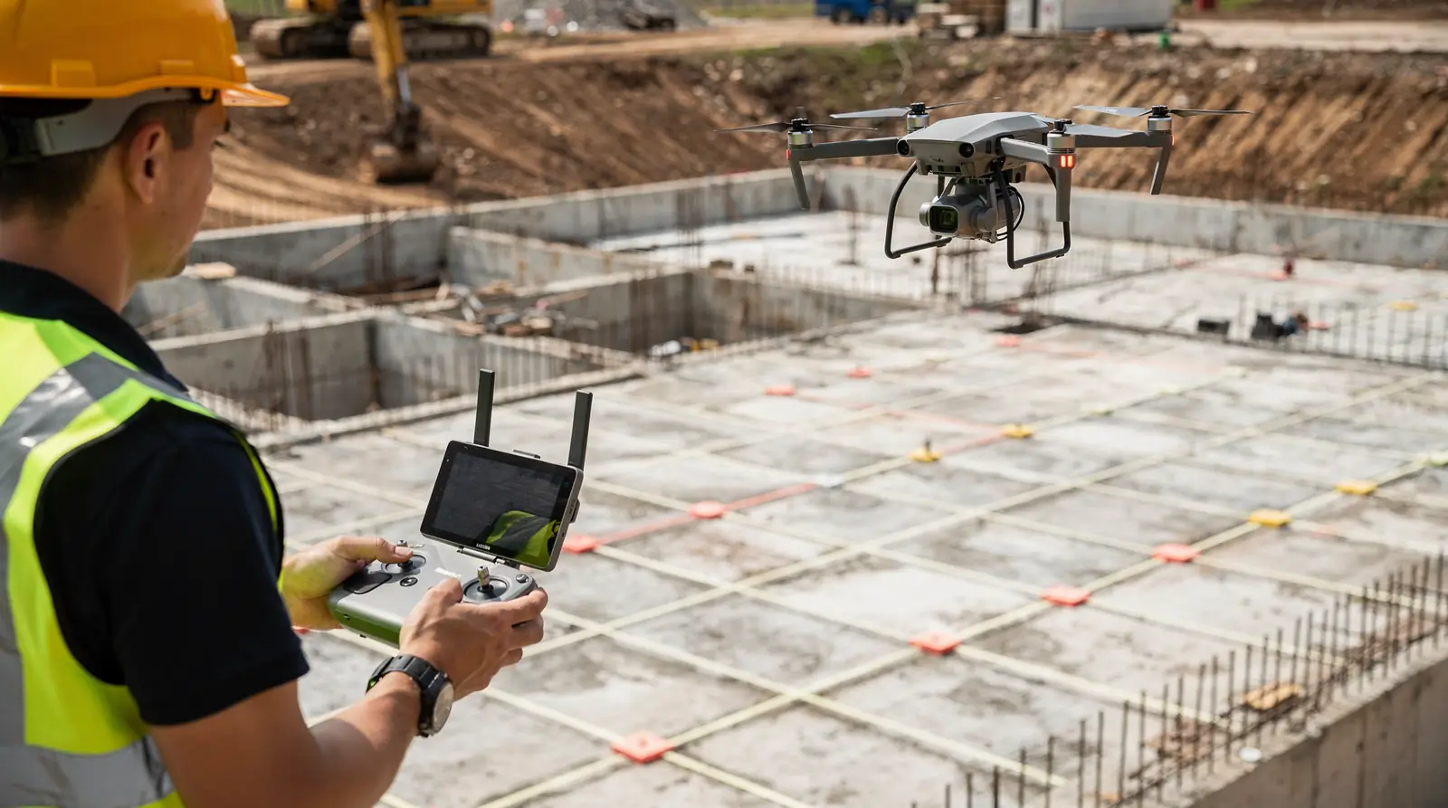
Progress aerials provide time-stamped visual records that verify completed work against project schedules. This gives project managers full site visibility without physical inspections, replacing infrequent walkthroughs with regular, automated documentation. The result is faster identification of discrepancies and stronger documentation for payment reviews and scope validation.

Rosenberg Associates deploys licensed pilots operating a range of platforms, including the Wingtra WingtraOne fixed-wing system. The company’s drone mapping and photography services support land planning, site scouting, and utility construction across Southern Utah’s complex terrain. Developers gain actionable site intelligence while reducing survey costs and accelerating project timelines.

How does drone photogrammetry improve accuracy?

Drone photogrammetry delivers centimeter-level accuracy by capturing site conditions from the air and converting them into precise, measurable data. Weekly or even daily flights generate real-time insights that traditional ground surveys cannot match for speed or granularity. Without this precision, project managers risk costly rework from outdated or incomplete site information.

What equipment makes high-accuracy drone mapping possible?

Drones fitted with GPS technology and high-resolution cameras form an unmanned aerial system (UAS) . These remotely flown aircraft carry a full package of software and hardware. The combination produces georeferenced imagery accurate enough for engineering-grade deliverables.

Rosenberg Associates deploys a wide range of UAS platforms operated by licensed pilots. The fleet includes the Wingtra WingtraOne fixed-wing drone, a system approved by the Blue UAS program. Several large and small copter-style drones round out the equipment roster for varied project demands.

What site features can drone photogrammetry extract?
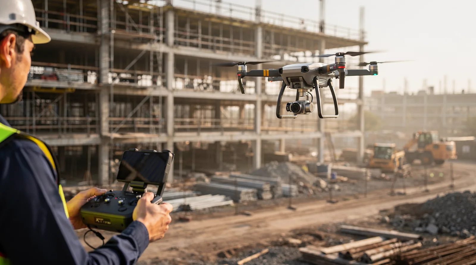
The technology extracts detailed features directly from aerial photos. Roads, markers, drains, and curbs all become identifiable, mappable elements in the final dataset. Finely detailed 3D reconstructions of buildings and other locations emerge from the same flight data.

This feature-extraction capability eliminates guesswork during design and earthwork planning. Survey-grade accuracy at this level of detail reduces field revisits and keeps construction schedules intact. Developers and municipal partners receive actionable intelligence, not just raw imagery.

What is site monitoring with drones?

Site monitoring with drones is the systematic capture of aerial imagery to track construction progress, verify quantities, and document conditions across a project’s lifecycle. This method replaces intermittent ground-level observation with frequent, high-resolution data that project stakeholders use to align field activity with schedules and budgets.

Drone site mapping generates orthomosaic maps and 3D models that deliver precise percent-complete tracking. Aerial imagery supports direct comparison between planned milestones and actual site conditions. Without this visibility, project managers lose the ability to detect schedule drift before it compounds into costly delays.

Construction monitoring through unmanned aerial systems also transforms safety protocols. Roofs, façades, and tall structures undergo remote inspection, reducing crew exposure to on-site hazards. The drone reaches vantage points that would otherwise require scaffolding, lifts, or manual climbing.

How do progress aerials improve project documentation?

Time-stamped visuals create an unbroken record of site evolution. These images support payment reviews, scope validation, and dispute resolution by establishing exactly what existed at a given date. Contractors and developers reference this archive when subcontractor claims diverge from observed conditions.

What role does drone photogrammetry play in quantity tracking?
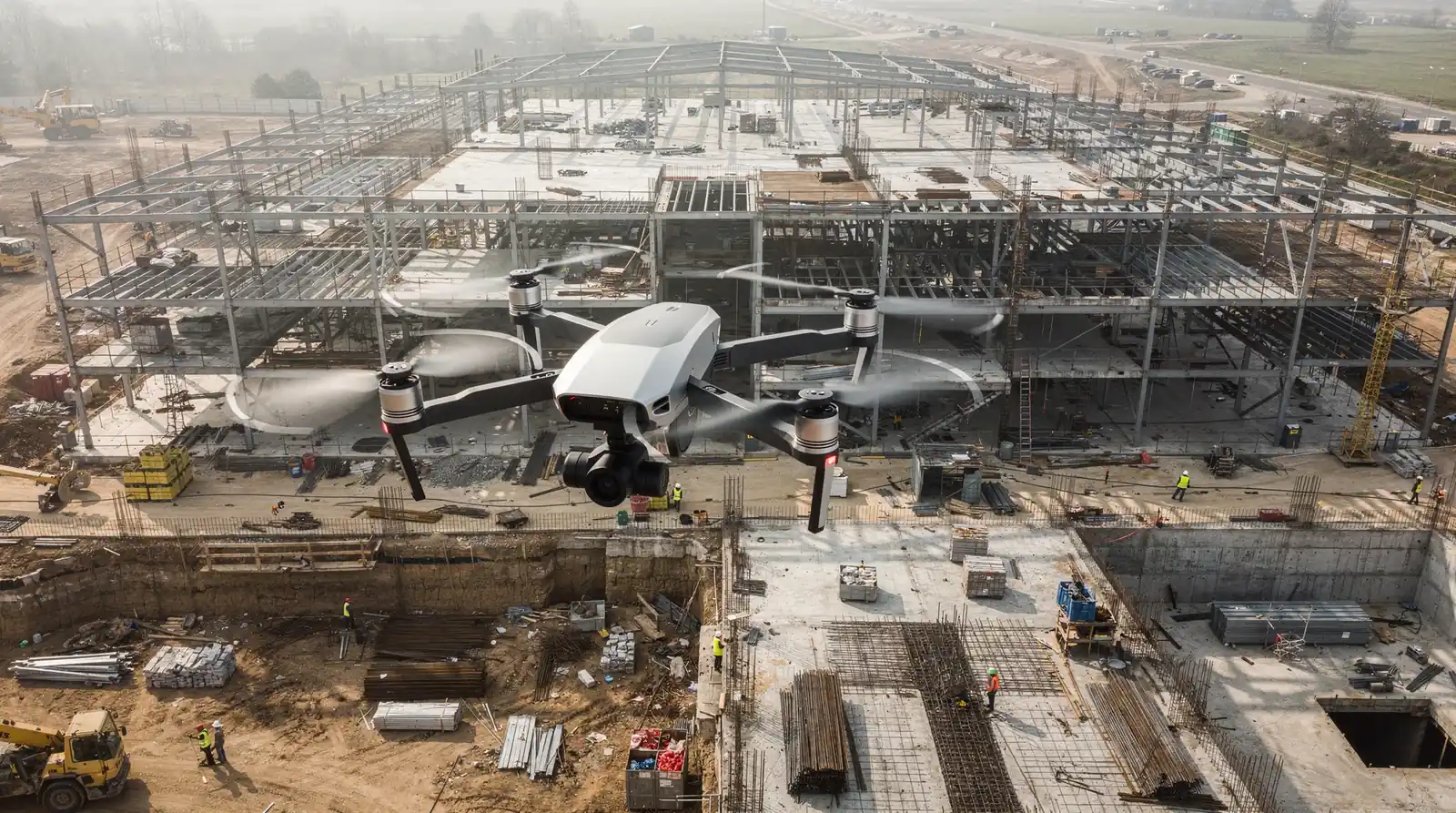
Drone photogrammetry converts overlapping aerial images into measurable 3D surface models. Volumetric data derived from these models improves cut-and-fill estimates, stockpile measurement, and material forecasting. A single flight produces data that manual survey crews would require days to collect, and the digital output integrates directly into earthwork analysis software.

Rosenberg Associates deploys fixed-wing and multirotor platforms operated by licensed pilots to execute these monitoring workflows. The resulting deliverables give developers and municipal partners in Southern Utah a continuous, defensible view of site status without the lag inherent in traditional inspection cycles.

How do progress aerials aid construction monitoring?

Progress aerials deliver a faster, more accurate method for tracking jobsite conditions. Limited visibility on active jobsites leads to missed issues, delayed decisions, and rising costs. Construction monitoring through scheduled aerial flights eliminates these blind spots by capturing comprehensive site imagery at regular intervals. Project managers verify percent-complete status, compare field progress against schedules, and identify discrepancies before they compound into expensive rework.

What do progress aerials reveal that ground-level inspections miss?

Aerial imagery exposes grading inconsistencies, drainage problems, and utility conflicts invisible from ground level. Time-stamped visuals create an indisputable record of site evolution. This documentation supports payment reviews, scope validation, and dispute resolution with objective evidence rather than subjective reports.

How do progress aerials integrate with construction engineering services?

Rosenberg Associates combines progress aerials with comprehensive construction engineering support. The firm delivers staking services and coordinates directly with utilities, guiding developers from design through completed construction. Construction engineering and inspection services include material specification review, quality control monitoring, and construction administration. Projects like Washington County’s Confluence Park trail and bridge crossing demonstrate this integrated approach.

Drone photogrammetry converts aerial images into measurable 3D models and orthomosaic maps. Site monitoring with drones provides volumetric data for cut-and-fill estimates and stockpile measurement. For developers managing large-scale subdivisions or municipal infrastructure, Rosenberg Associates’ drone mapping services supply the precision data that drone site mapping demands. The result is tighter schedule control and fewer costly surprises during construction.

What are the benefits of drone site mapping?

Drone site mapping delivers accurate topographic data and 3D models in hours rather than days. Project managers who rely on outdated ground surveys lose weeks of actionable intelligence and expose budgets to rework costs that traditional methods rarely catch in time.

The speed advantage transforms how developers and contractors approach pre-construction planning. Drones capture current site conditions with precision, enabling teams to plan against real terrain instead of outdated contour maps. This immediacy eliminates the gap between data collection and decision-making.

How does drone photogrammetry improve land surveying?

Drone photogrammetry adds an entirely new dimension to land surveying. The technology produces aerial imagery that feeds into 3D site modeling, photo comparisons, and aerial video documentation. Surveyors extract features like roads, markers, drains, and curbs directly from high-resolution photos. Stockpile volume calculations become routine outputs rather than labor-intensive estimates.

What makes construction monitoring faster with drones?

Construction monitoring through aerial platforms gives project stakeholders clear visibility without site visits. Time-stamped progress aerials create an indisputable record of work completed, supporting payment reviews and scope validation. Site monitoring with drones also reduces safety exposure: inspectors evaluate roofs, façades, and tall structures remotely instead of climbing scaffolding or navigating active job sites.

Rosenberg Associates integrates drone surveying technology into civil engineering and land survey projects across Southern Utah. The firm deploys fixed-wing and multirotor systems operated by licensed pilots, producing orthomosaics and topographic models that accelerate data collection for large or hazardous sites. Developers and municipal partners receive survey-grade deliverables without the delays inherent in ground-based methods.

FAQ

Why use drones for land development?

Drones deliver high-accuracy topographic data and detailed 3D models faster than traditional methods, at lower cost. They capture comprehensive spatial data that ground crews cannot match for speed or coverage, supporting feasibility studies through final grading plans.

How does drone photogrammetry improve survey accuracy?

Roads, markers, drains, and curbs become identifiable elements within a georeferenced 3D model, enabling greater measurement precision than ground-only methods.

How do progress aerials aid construction monitoring?

Progress aerials provide time-stamped visual records that verify completed work against project schedules. They give project managers full site visibility without physical inspections, replacing infrequent walkthroughs with regular, automated documentation for faster discrepancy identification and stronger payment reviews.

Conclusion

For developers and municipal partners managing large-scale subdivisions or infrastructure projects, integrating drone mapping into land development and construction monitoring eliminates the blind spots that drive rework and delay. The technology converts aerial imagery into measurable 3D models and time-stamped progress records, giving project teams a defensible, continuous view of site conditions from pre-construction through completion. Adopting this approach tightens schedule control and reduces costly surprises.