
Professional Drone Surveying: Key Operational Insights
Drone surveying captures topographic data efficiently, depending on site conditions and team size.
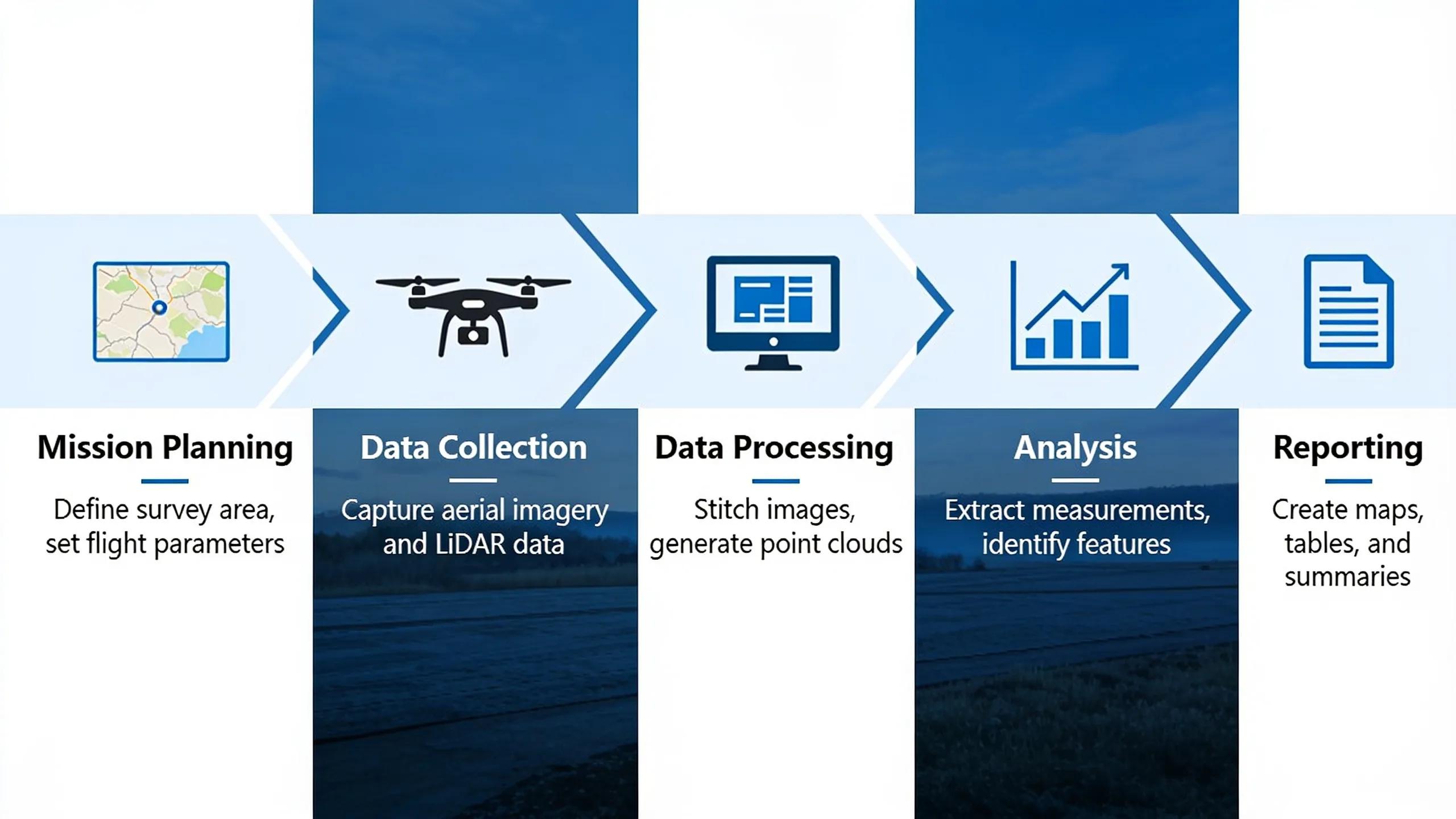
Professional drone workflows follow five sequential stages: planning, collection, processing, drafting, and final map production.
Drone surveys deliver orthomosaics typically within a few days after data collection, depending on processing time.
Drones excel on large sites, hazardous terrain, and rapidly changing areas unsuitable for ground crews.
What Do You Need Before Integrating Drone Data?
How does drone data fit into an existing survey workflow?
Can drone topography replace traditional survey equipment?
Total stations for precise angle and distance measurement
GNSS receivers for control point verification
Drone imagery for broad topographic coverage and volumetric data
How Do You Plan and Capture Drone Survey Data?
What happens during mission planning?
Define accuracy requirements and deliverable type before selecting equipment.
Choose between fixed-wing and multirotor systems based on site size, terrain, and required resolution.
Establish ground control points to anchor the dataset to known coordinates.
Execute the flight plan under conditions suited to the target accuracy.
Move captured imagery into photogrammetry processing for point-cloud and orthomosaic generation.
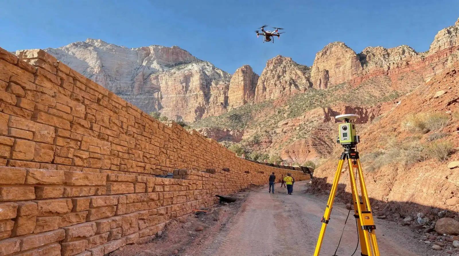
Why does terrain complicate flight planning in Southwestern Utah?
How Is Drone Data Processed Into Survey Deliverables?
Does drone processing meet survey-grade accuracy standards?
Import raw imagery and flight logs into photogrammetry software.
Align images and generate a sparse point cloud.
Densify the point cloud and build a 3D mesh.
Apply ground control points to correct scale and position.
Export orthomosaics, contours, and elevation surfaces for design use.
How Do You Integrate Drone Topo Into Engineering Workflows?
Confirm project scope and identify which design disciplines require the topo dataset.
Collect aerial topographic data and cross-check it against established survey control.
Route the processed surface into design-specific workflows, such as grading plans or hydraulic models.
Coordinate revisions across disciplines as design assumptions shift during review.
Archive final topo deliverables alongside boundary and ALTA/ASCM documentation for future reference.
Does drone topo work across state lines and jurisdictions?
Why does flexibility matter during design coordination?
What Common Mistakes Undermine Drone Survey Accuracy?
Skipping a documented flight and processing plan before mobilization.
Treating ground control and quality checks as optional steps rather than fixed requirements.
Ignoring regulatory coordination with local agencies during project scoping.
Failing to reconcile aerial data against terrain variability across a site.
Why does workflow discipline matter more than equipment specs?
How does regional growth affect survey accuracy standards?
FAQ
What is required before starting a drone survey project?
Does drone data replace total stations and GNSS equipment?
What are the stages of a professional drone survey workflow?
Facts
Rosenberg Associates is located in St. George, UT, US.
Rosenberg Associates has 17 employees.