What We Do
Survey and Mapping
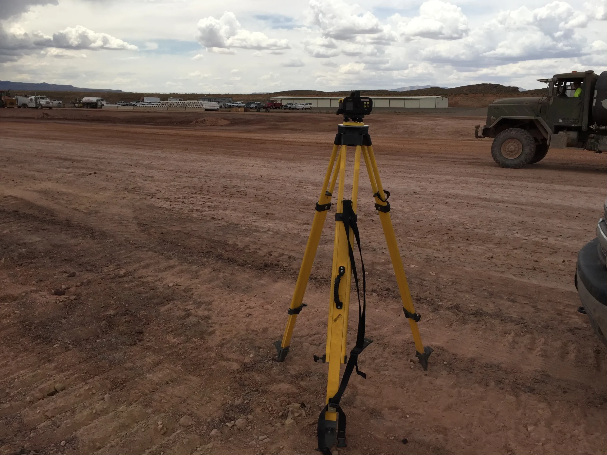
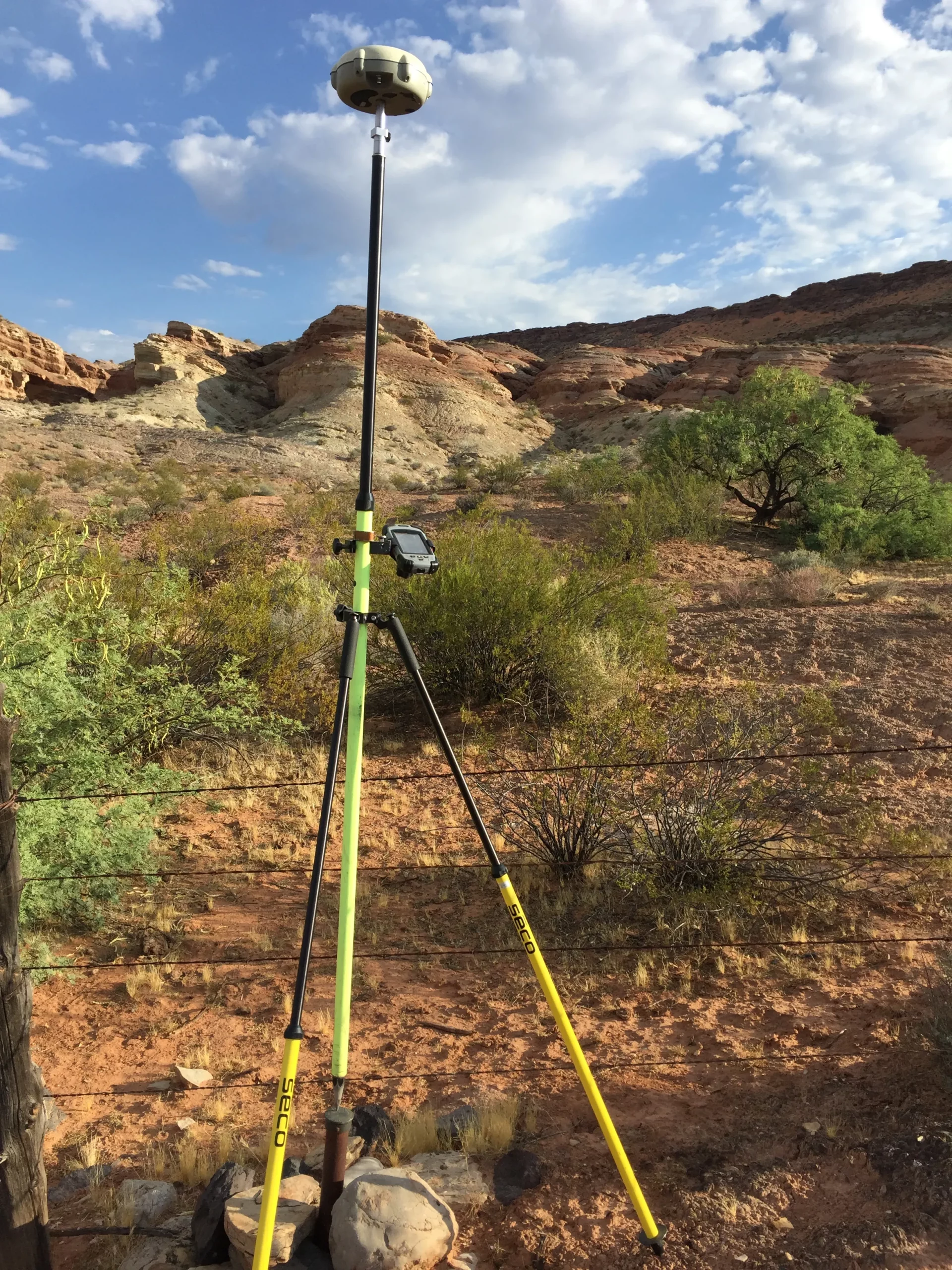
Rosenberg Associates provides a variety of surveying and mapping services. Typical projects include field surveys and document research to determine land ownership and boundaries, sectional breakdowns, section corner searches, and survey title work. Field survey crews establish horizontal and vertical field control and perform topographic surveys to create project base maps. On larger parcels, we establish horizontal and vertical field control, set aerial targets, tie in detailed information, and work closely with an aerial mapping company to provide aerial photography and mapping.
Mapping can also include cross sections for analysis of river channels to support FEMA floodway and floodplain determinations.
Records of survey documents range from single lot surveys to complex ALTA/ASCM surveys on large parcels. Our right-of-way staff works closely with our field crews and with the title companies to prepare accurate legal descriptions and right-of-way documents, including road dedication plats, easement agreements, lien release parcels, and other right-of-way documents.
Our survey staff also provides staking services for site grading, utility infrastructure construction, structures, and street surface improvements. After the completion of the project, we prepare the drawing record.
Let's Build Something
Need any help? Please email or call us and we would be glad to answer any of your questions.
Rosenberg Corporate Office
352 East Riverside Dr., Suite A2
St. George, UT 84790
Phone: (435) 673-8586
Fax: (435) 673-8397