
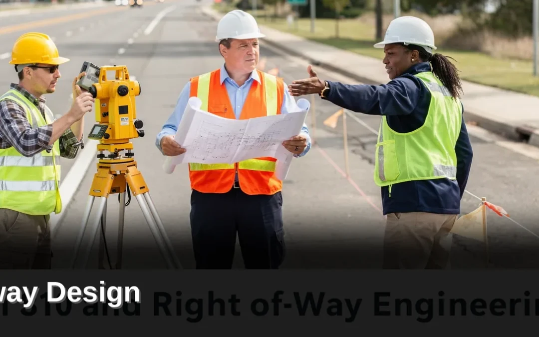

Engineers reviewing blueprints and surveying equipment during roadway design and right-of-way engineering.

Right-of-way engineering bridges real estate and engineering teams by verifying road ownership, identifying easements, and validating acquisition areas. For developers and municipal project managers in Mesquite, Nevada, Rosenberg Associates coordinates directly with utilities and regulatory bodies, guiding projects through grading and drainage design, land survey, and construction. The firm’s 17-person team applies AACE International’s five-level classification system for accurate cost estimating throughout project phases.

Roadway Engineering Key Takeaways for Arizona and Nevada

  • Right-of-way engineering bridges real estate and engineering teams by verifying road ownership and identifying easements.
  • Roadway design and right-of-way engineering are distinct but interdependent disciplines defining transportation infrastructure within legal boundaries.
  • Delayed right-of-way identification causes redesign and schedule overrun when street design ignores easement constraints.
  • Right-of-way plans define and dimension areas necessary to construct and maintain main roadways, outer roadways, entrances, and crossroads.

What is roadway design and right-of-way engineering?

Roadway design and right-of-way engineering are distinct but interdependent disciplines that together define how transportation infrastructure fits within a property’s legal and physical boundaries. Roadway design establishes the geometric and structural specifications of the road itself. Right-of-way engineering secures the land corridor needed to build and maintain it.

Projects fail when these two functions operate in isolation. Right-of-way engineering addresses gaps between real estate and engineering teams, according to the Guide for Early Right-of-Way Engineering Involvement. Core responsibilities include verifying ownership of the road right-of-way and identifying easements for utilities, cross-access, and drainage. The horizontal alignment of a roadway and its intersection geometry directly influence the width and shape of the required corridor. Without early coordination, a design optimized for traffic flow can impose acquisition boundaries that stall negotiations or create unbuildable remnant parcels.

What do right of way plans include?

Right of way plans define and dimension areas necessary to construct and maintain the main roadways, outer roadways, entrances, and crossroads. The Category 236 Right of Way specification explains these plans also delineate zones for maintenance access and utility corridors. The minimum right-of-way width established for each project accommodates construction and provides proper roadway maintenance without an undue number of jogs in the boundary line. Information on these plans must be sufficient to write legal descriptions and convey the limits of the acquired interest.

How does right-of-way engineering affect a development timeline?

Delayed right-of-way identification is a primary cause of redesign and schedule overrun. A detailed street design that ignores easement constraints will require revisions after title work reveals encumbrances. The ROW engineering function validates acquisition areas and reviews designs for constructability within those real estate limits. This review occurs during final design, after preliminary plan approval, making any late-stage conflict a direct setback to the letting date.

For developers and municipal project managers in Mesquite, Nevada, Rosenberg Associates prepares a full range of project road, grading and drainage, and utility infrastructure construction plans. The company’s civil engineering services integrate right-of-way planning directly into site layout, grading and drainage design, and land survey work. That integration ensures the constructed roadway aligns with the legal boundary and avoids costly redesign cycles tied to real estate constraints.

Urban roadway design showing horizontal alignment and right-of-way integration in civil engineering.

How does horizontal alignment affect street design?

Horizontal alignment defines the curvature and path of a roadway. Poor alignment choices reduce safety and inflate construction costs. The geometry of a street’s centerline determines how vehicles navigate turns, how drivers perceive upcoming hazards, and how much land the project consumes. Roadway design begins with this horizontal framework because every subsequent decision about grading, drainage, and utility placement depends on where the road goes.

Street design integrates horizontal alignment with right-of-way limits early in the process. The minimum width of right-of-way established for each project accommodates construction and provides proper maintenance access. Curves that are too tight force slower speeds and increase collision risk. Curves that are too flat on constrained sites consume excessive right-of-way and drive up acquisition costs. The control of access to a roadway is a key element in determining the safety of highway improvement. It also protects the public’s investment in the infrastructure.

What happens when horizontal alignment conflicts with right-of-way limits?

Alignment that exceeds available right-of-way triggers costly redesigns. Right-of-way engineering tasks address the gaps between real estate and engineering teams. These activities include verifying ownership of the road right-of-way, identifying easements for utilities and cross-access, and validating acquisition areas. When the horizontal alignment pushes beyond the planned corridor, the project faces delays from additional property negotiations and potential redesign of connecting entrances and crossroads.

How are alignment decisions documented for construction?
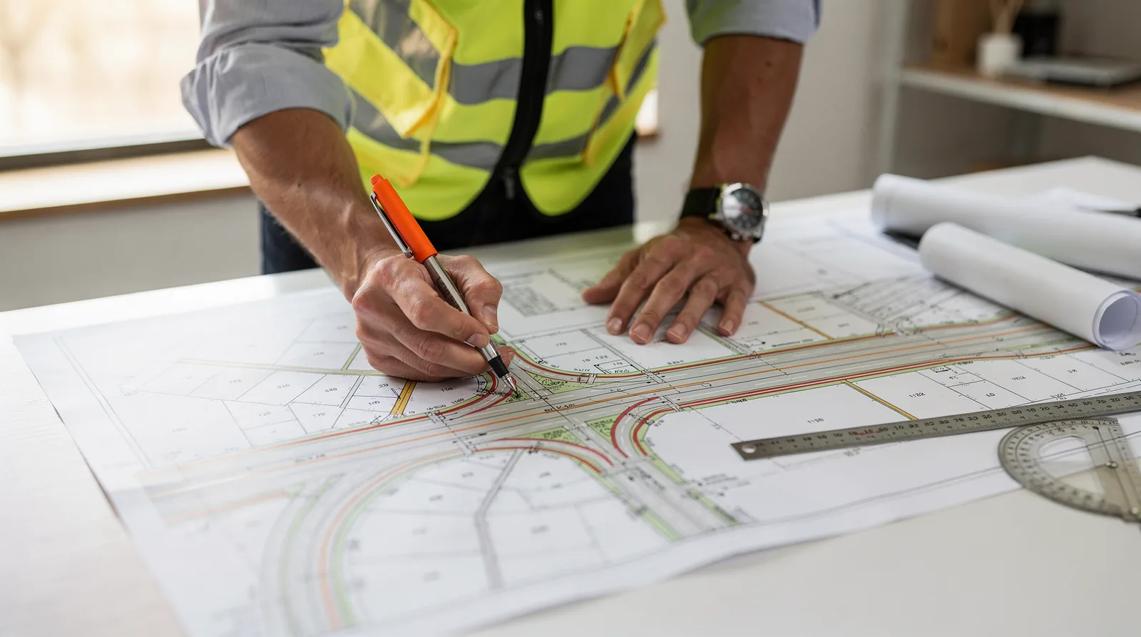
Right of way plans are developed together with detailed construction plans during final design. This phase occurs after the preliminary plan for an improvement is approved. The plans define and dimension areas necessary to construct and maintain the main roadways, outer roadways, entrances, and crossroads. Information on the right-of-way plans is sufficient to write deeds and describe the limits of the right of way. Rosenberg Associates prepares infrastructure construction plans meeting NDOT and local standards using AutoCAD and Civil 3D software. The firm’s horizontal alignment work gives Mesquite, Nevada developers and municipal managers reliable documentation before site work begins.

Civil engineer reviewing right-of-way plans and roadway design schematics at a desk.

What should be in right of way plans?

Right-of-way plans document the precise areas required to build and sustain transportation infrastructure. These plans define and dimension the space needed for main roadways, outer roadways, entrances, and crossroads, along with dedicated zones for maintenance and utilities. Without complete right of way plans, a project cannot secure the legal access necessary for construction, and missing dimensions create costly delays during acquisition.

The plans emerge during final design, developed alongside detailed construction documents after preliminary plan approval. This integration ensures every required easement and acquisition parcel aligns with the actual roadway design and street design geometry. Information on the plans must be sufficient to write deeds and describe the limits of the right of way. Surveyors and engineers translate horizontal alignment calculations into boundary descriptions that hold up under title review and legal scrutiny.

What legal documents do right-of-way plans support?

Right-of-way plans provide the foundation for deed preparation and property boundary descriptions. The dimensional data and parcel identification on these sheets allow title companies and attorneys to draft acquisition documents with legal precision. Incomplete or ambiguous plans introduce risk of boundary disputes that stall project timelines.

How does right-of-way engineering connect design to acquisition?
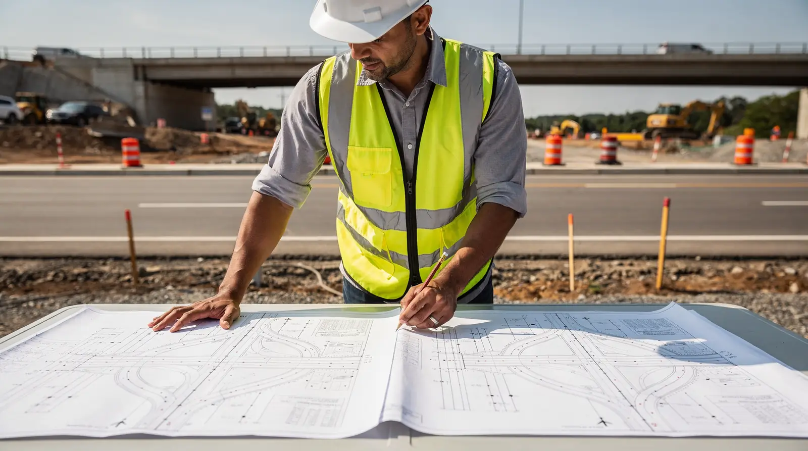
Right-of-way engineering bridges the gap between infrastructure design and real estate acquisition. Engineers verify that the designed roadway footprint, drainage features, and utility corridors fit within the proposed acquisition limits. This verification prevents situations where constructed improvements encroach on unacquired land.

Rosenberg Associates supports this process through survey and mapping services that include legal boundary surveys, topographic mapping, and right-of-way preparation. The company’s work ensures plan sets contain the survey-grade accuracy required for deed writing and regulatory submission. Developers and municipal project managers rely on this precision to move from approved preliminary layouts to recorded easements without rework.

Civil engineer reviewing roadway design plans and right-of-way engineering layouts in St. George, UT.

How to choose a roadway engineering partner?

Selecting a roadway design partner requires verifying multi-disciplinary licensure and local terrain expertise. Firms lacking in-house geotechnical or structural capabilities introduce coordination delays that stall right-of-way engineering approvals and inflate project carrying costs.

What disciplines should a roadway engineering firm have in-house?

A qualified firm maintains licensed professionals across civil engineering, structural engineering, land survey, geotechnical, and environmental disciplines. Rosenberg Associates fields this exact multi-disciplinary team, eliminating the handoff gaps that occur when separate consultants manage different design phases. Single-firm accountability accelerates street design, grading and drainage, and land survey submittals, and keeps horizontal alignment decisions coordinated with subsurface conditions from the start.

How does local utility coordination affect project timelines?

Established relationships with area utility providers prevent costly redesign cycles. Rosenberg Associates holds strong working relationships with local utility service providers and has engineered major utility corridors, including new corridor development and relocation projects. Developers without this coordination network face extended review periods when right of way plans encounter utility conflicts that require third-party negotiation.

What project experience signals reliable delivery?

A track record across master-planned communities demonstrates the capacity to handle complex infrastructure. Rosenberg Associates has delivered civil engineering, grading and drainage, and land survey work for commercial and residential developments throughout Mesquite, Nevada and the surrounding Southern Nevada region, including projects such as the Southern Nevada Industrial Park and the Sunrise Vista Homes community. This portfolio confirms the firm navigates Southern Nevada’s regulatory and environmental requirements at scale.

What are costs for right-of-way engineering?

Right-of-way engineering costs depend on project complexity, phasing, and the estimating framework applied. Without accurate early estimates, developers risk budget overruns that delay entitlements and stall construction financing. Project teams typically produce multiple estimates during preliminary design, detailed engineering, and tendering phases. Each phase sharpens the cost picture and reduces financial exposure.

What factors drive right-of-way engineering costs?

Civil engineering construction cost estimates cover site layout, grading and drainage design, and utility and street improvements. Right-of-way engineering tasks add ownership verification, easement identification, and acquisition area validation. These activities bridge real estate and engineering disciplines. The scope of right of way plans directly shapes the estimate total.

Construction cost estimating covers direct costs like materials and labor plus indirect costs such as equipment depreciation. The work is guided by AACE International’s five-level classification system, which increases in accuracy from conceptual planning through final design. A Class 5 estimate might carry a wide variance. A Class 2 estimate, produced during detailed engineering, narrows that range substantially.

How does the estimating framework affect budget reliability?

Rosenberg Associates applies the AACE cost-estimating framework with its 17-person team to provide reliable budgeting figures before site work begins. Roadway design elements, including horizontal alignment and street design geometry, influence both construction costs and long-term maintenance obligations. Early coordination between survey, design, and right-of-way functions prevents rework that inflates project budgets.

A detailed civil engineering cost estimate captures these interdependencies. Developers and municipal project managers who commission phased estimates gain tighter cost control. The alternative is discovering acquisition gaps or utility conflicts after design approval, a scenario that erodes contingency reserves and extends project timelines.

FAQ

What is the difference between roadway design and right-of-way engineering?

Roadway design establishes geometric and structural specifications of the road, while right-of-way engineering secures the land corridor needed to build and maintain it. Right of way plans define and dimension areas for main roadways, outer roadways, entrances, crossroads, maintenance access, and utility corridors.

How does delayed right-of-way identification affect a project?

Delayed right-of-way identification causes redesign and schedule overrun when street design ignores easement constraints, setting back the letting date.

Conclusion

Roadway and right-of-way engineering demand a partner who integrates survey, design, geotechnical, and environmental disciplines under one roof to eliminate coordination delays and prevent costly redesign. Developers and municipal project managers who verify multi-disciplinary licensure, local utility relationships, and a portfolio of master-planned communities secure reliable delivery from concept through construction. Selecting a firm with this breadth of in-house expertise ensures right-of-way plans align with design intent, keeping budgets intact and project timelines on schedule.